28 February 2015

Hawkes Bay

We traveled across the North Island to Hawkes Bay the first weekend in February
and spent three days touring around Hastings and Napier.  Our South African
friends went over as well and we all stayed in the same motel.  It was great
having them with us as the kiddos had built-in playmates in the evenings.  The
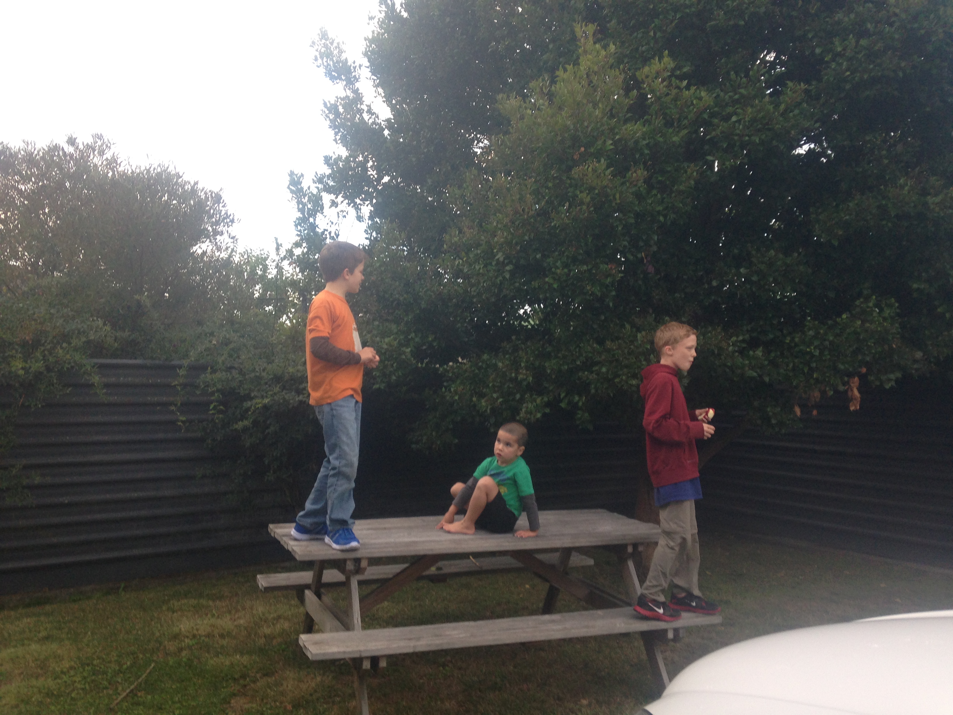
kids were the rowdy cut-ups of the motel parking lot and the management was
probably glad to see the back of us.

It was a fun weekend and we got a good look at Hawkes Bay, the bread basket of
New Zealand.  We left a rainy Hawera on Friday and retraced our route to
Masterton, except we turned after north crossing through the Manawutu Gorge.
Friday was a national holiday, Waitangi Day, and we spent several hours taking in
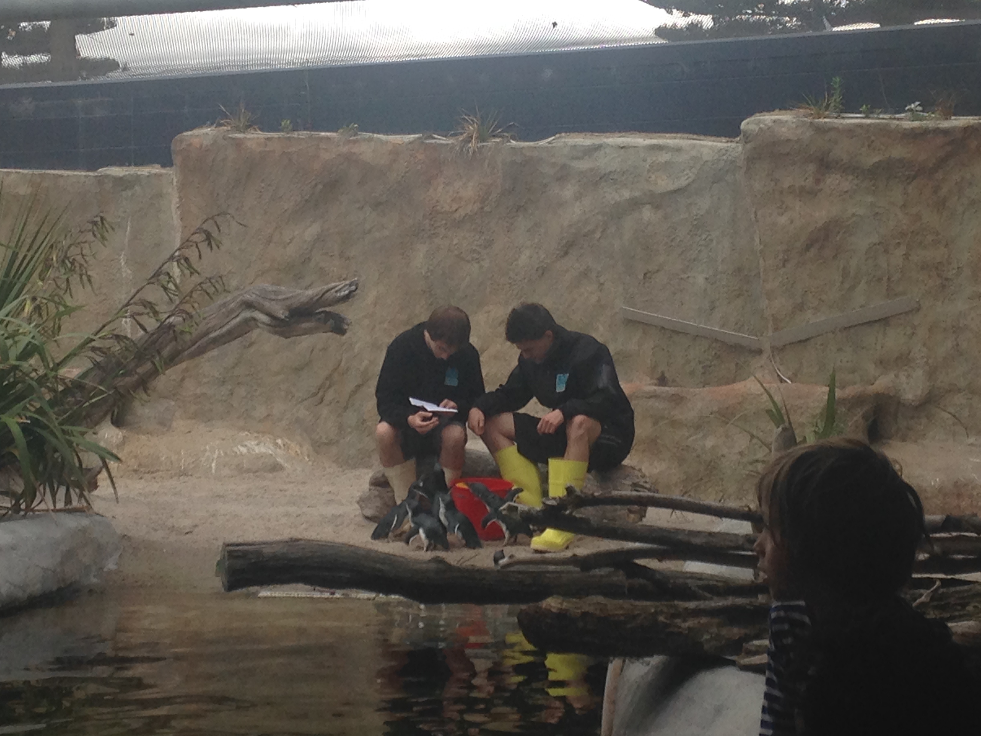
the National Aquarium in Napier.  The stars of the show were the cute little Blue
Penguins, most of which are rescued birds with injuries.  We also saw our first
Kiwis!  Kiwis are nocturnal birds, native to New Zealand, and they only survive
in zoos and fenced enclosures.
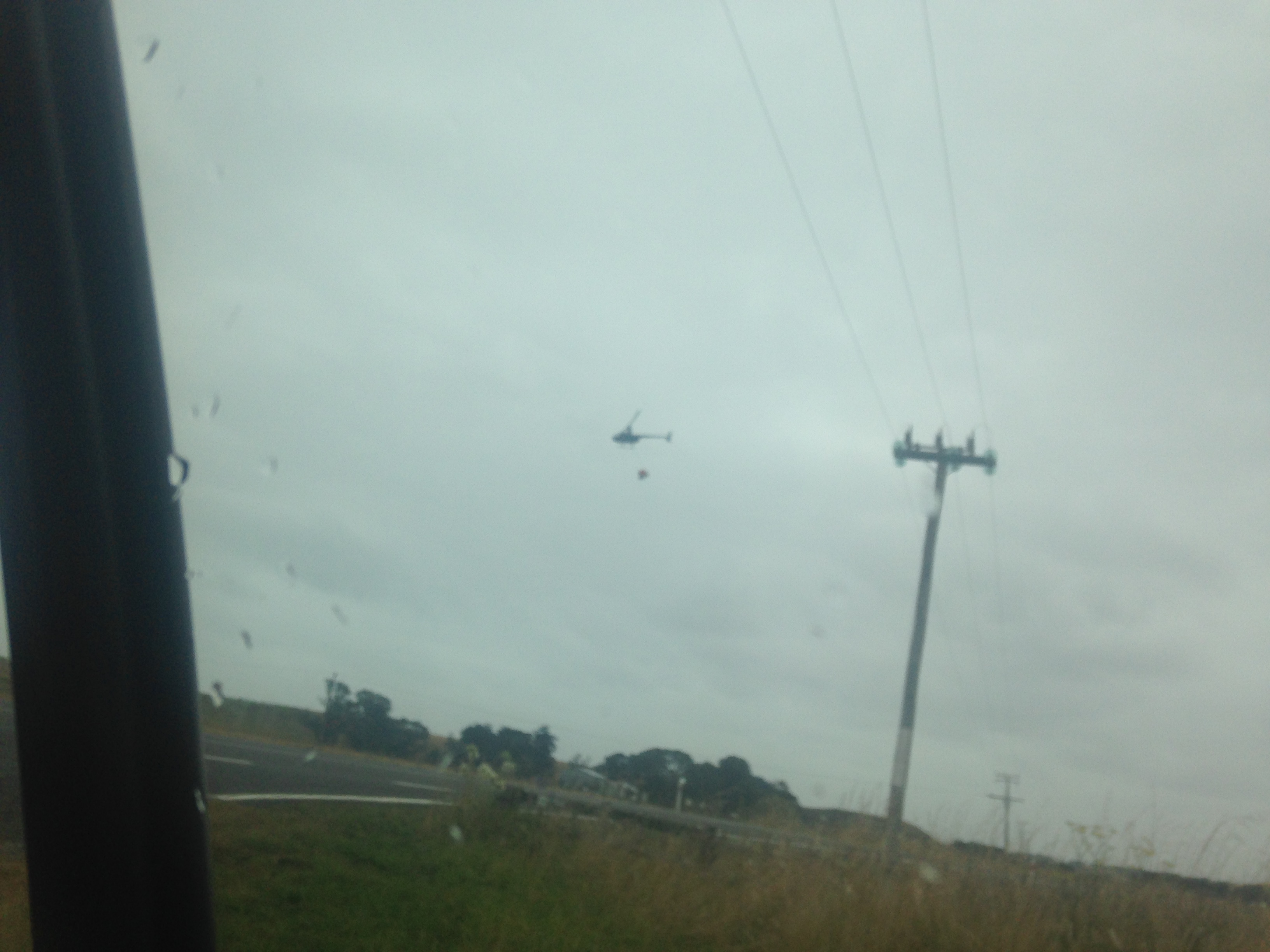
Robinson helo slinging a fertilizer bucket
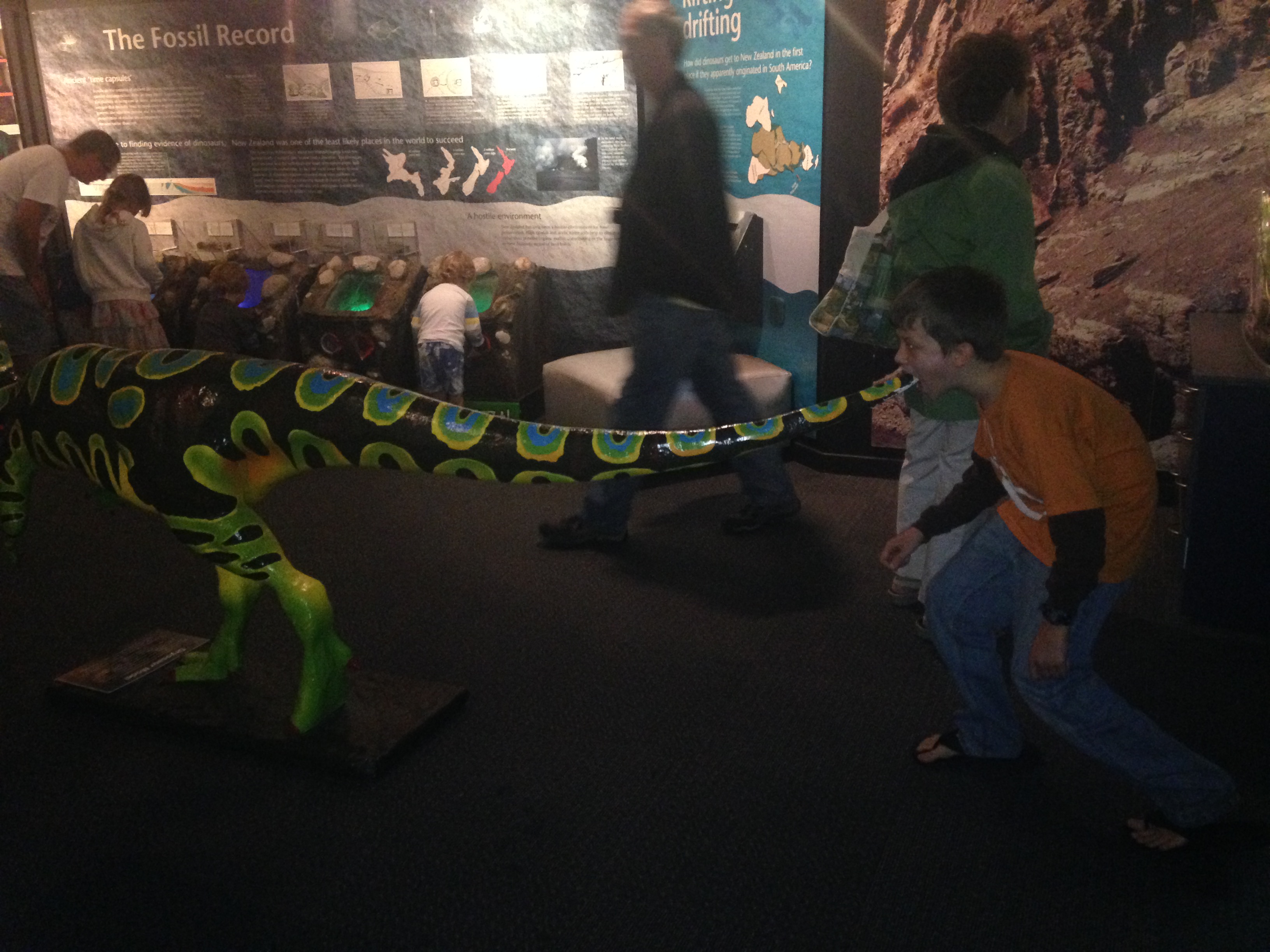
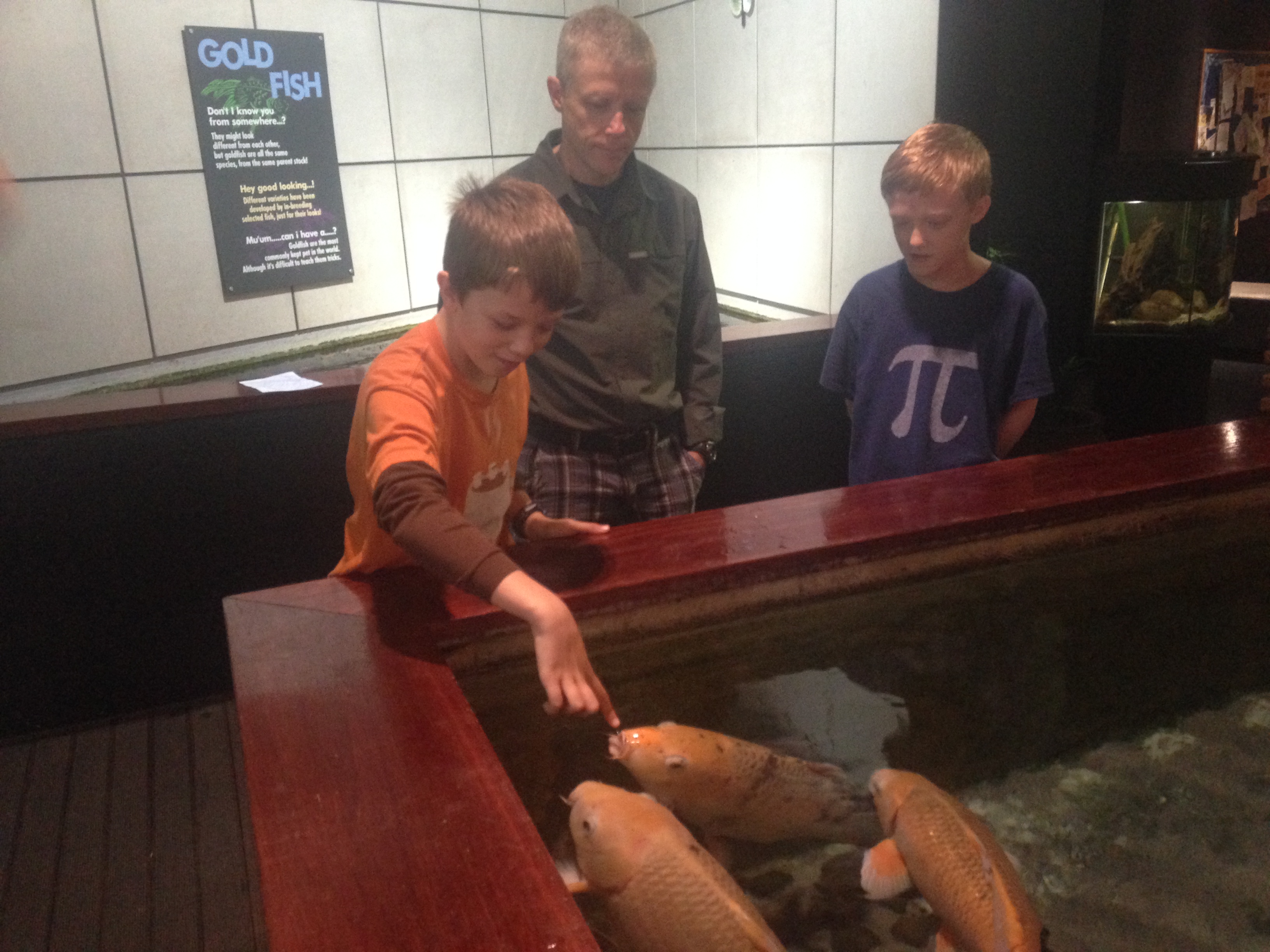
Taking a bite of the pre-historic
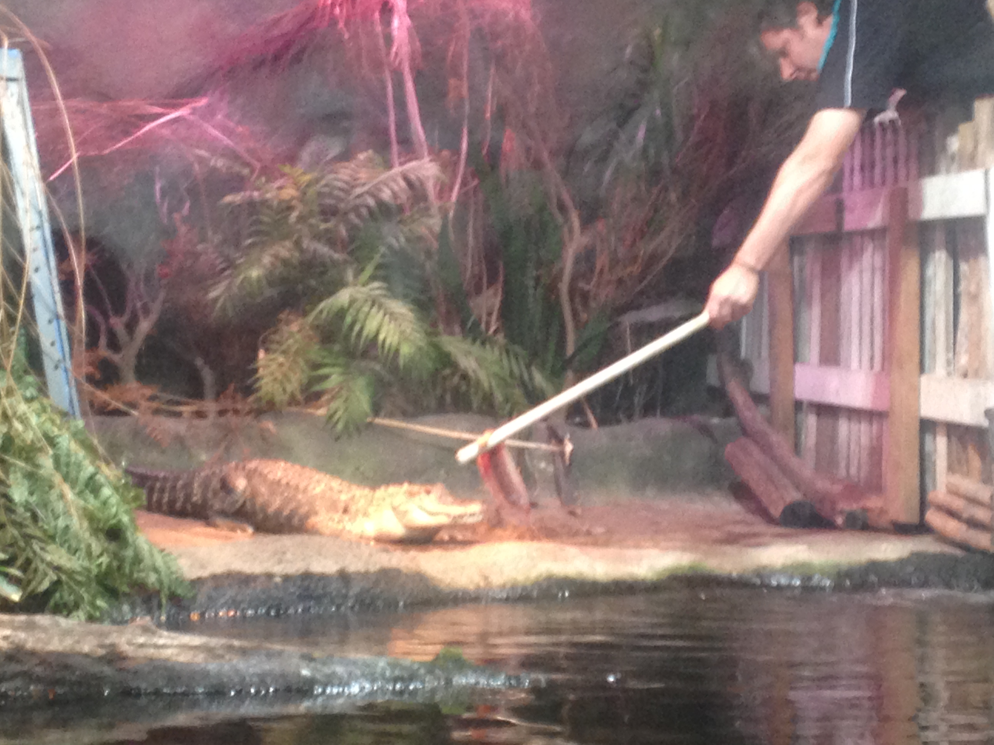
An American gator
Riegardt and David
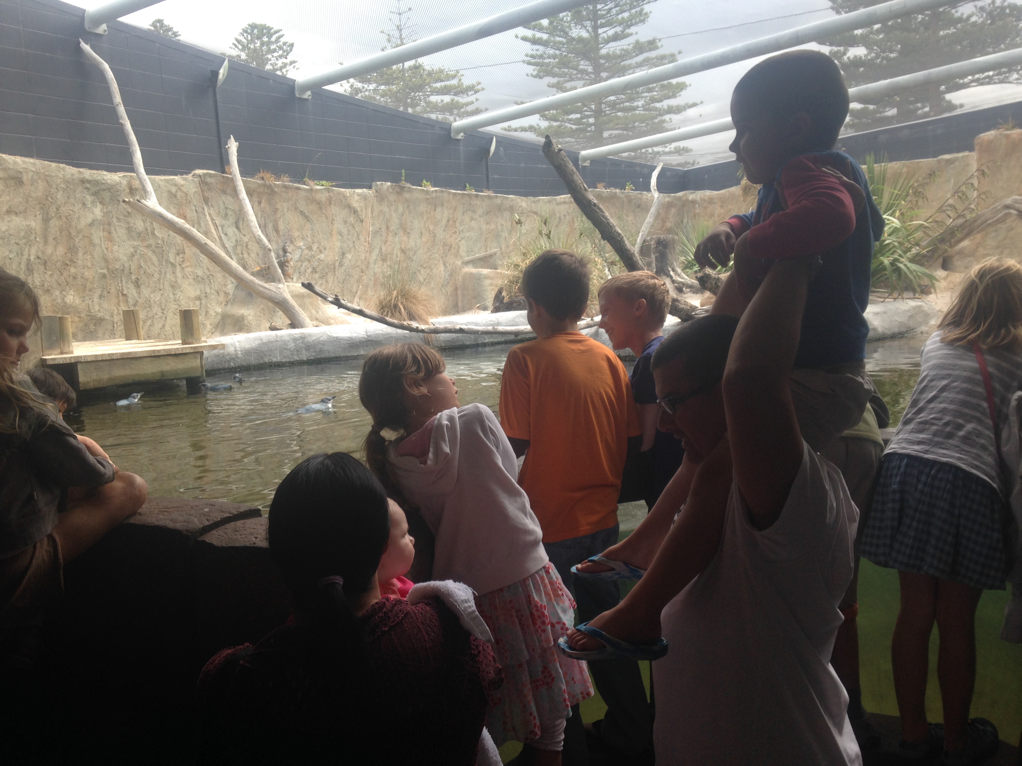
Kids at the penguin feeding
Cute little birds
Enhanced photo since the enclosure is really dim
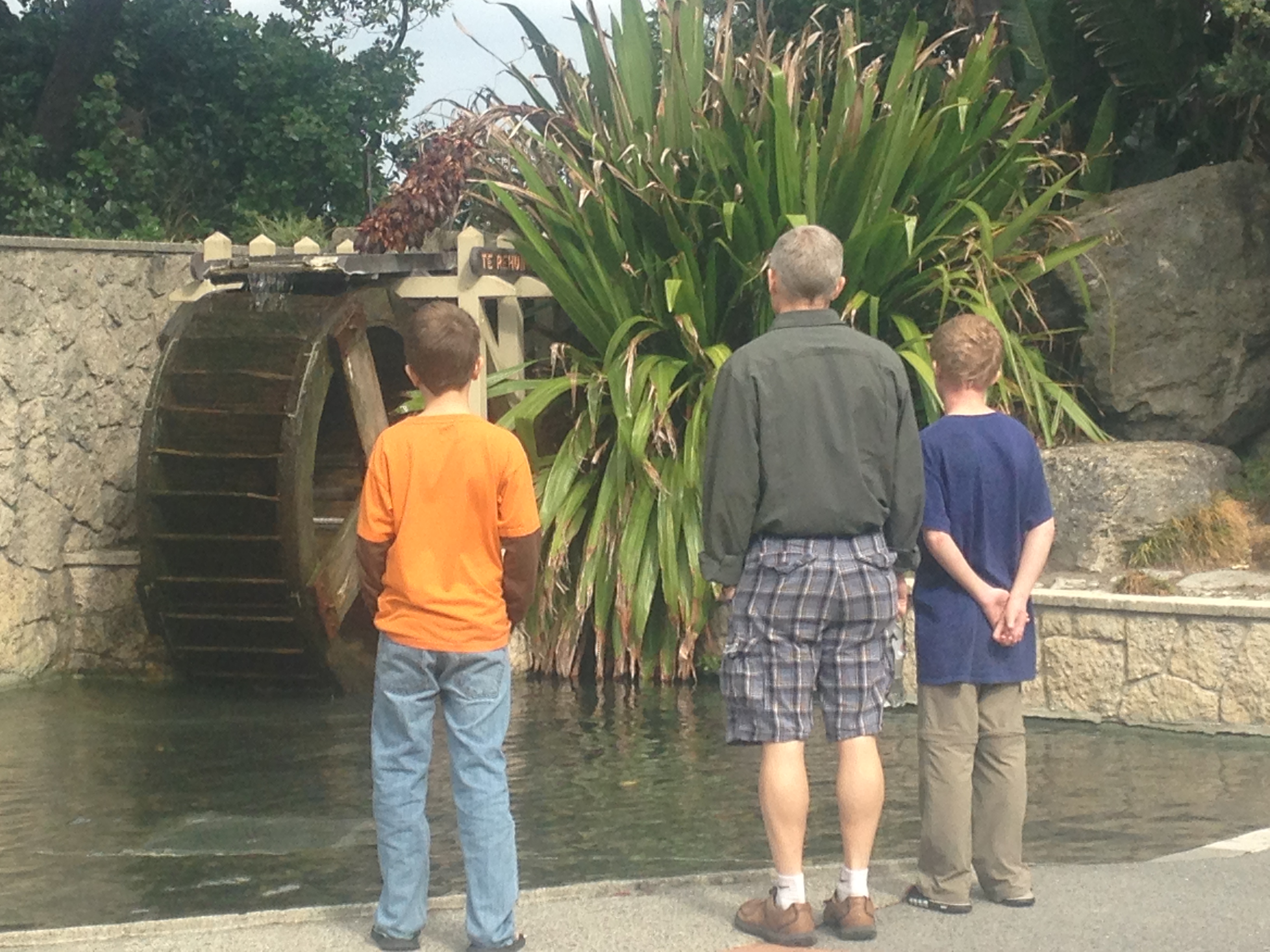
Studying the water wheel
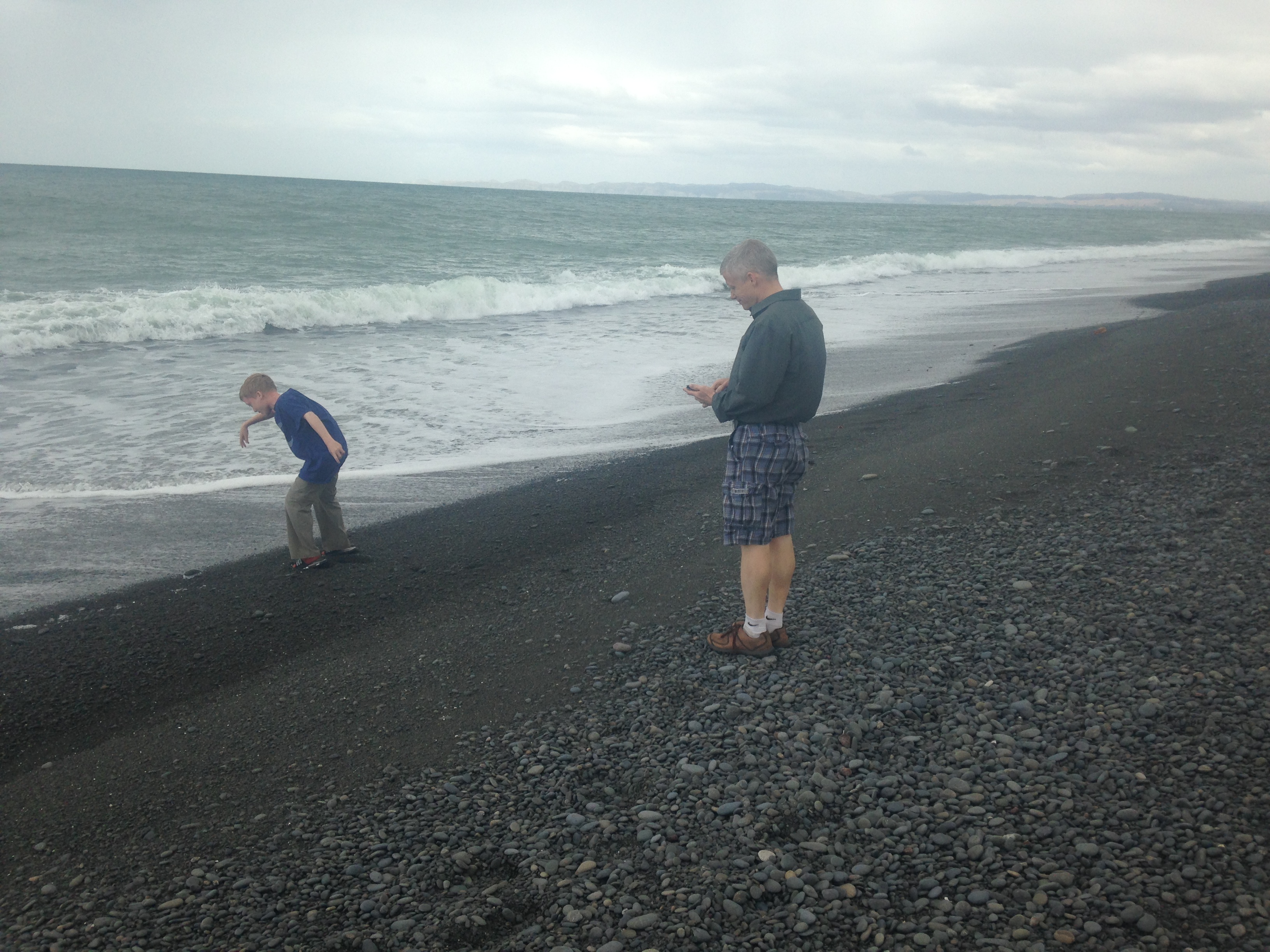
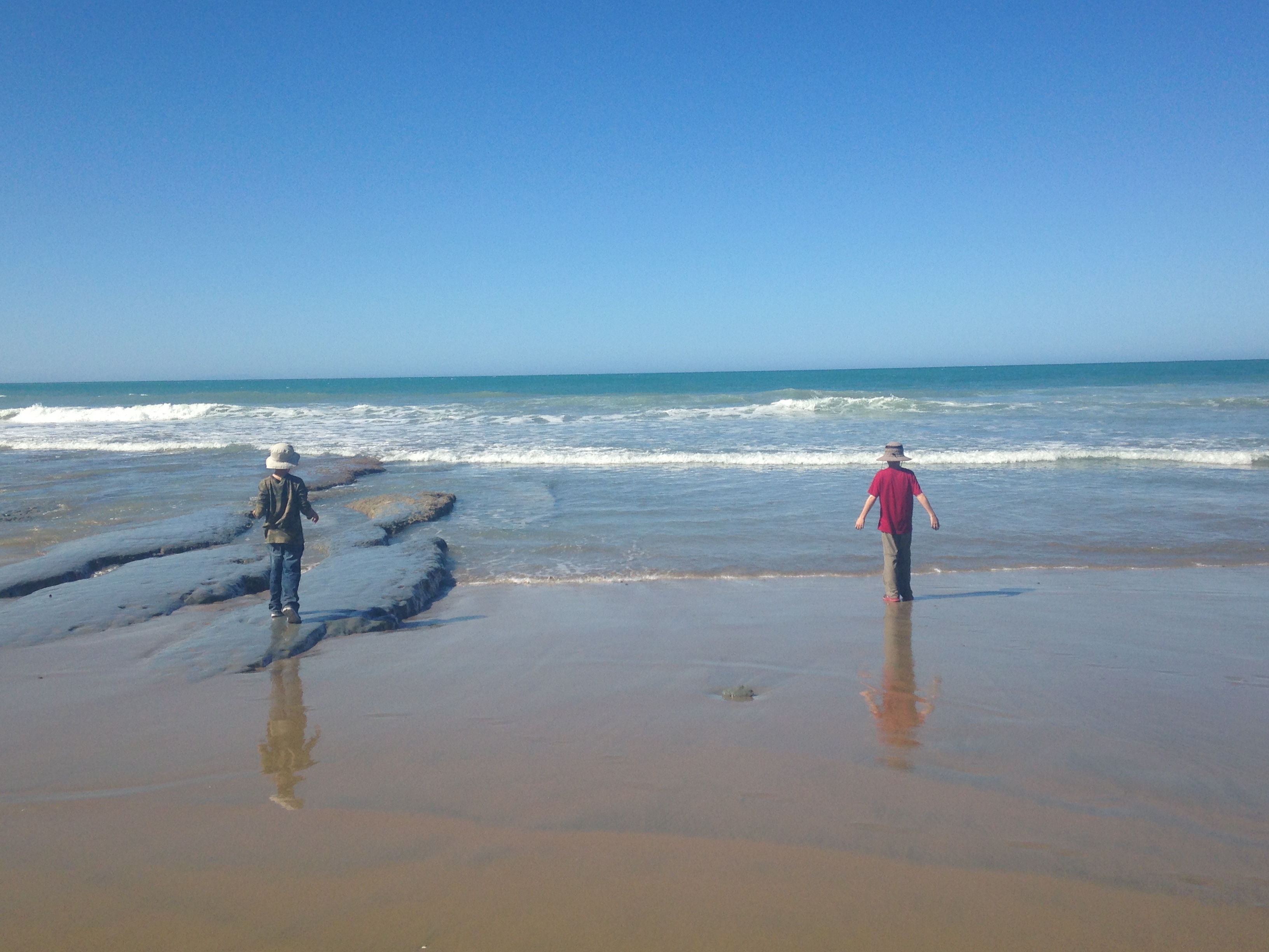
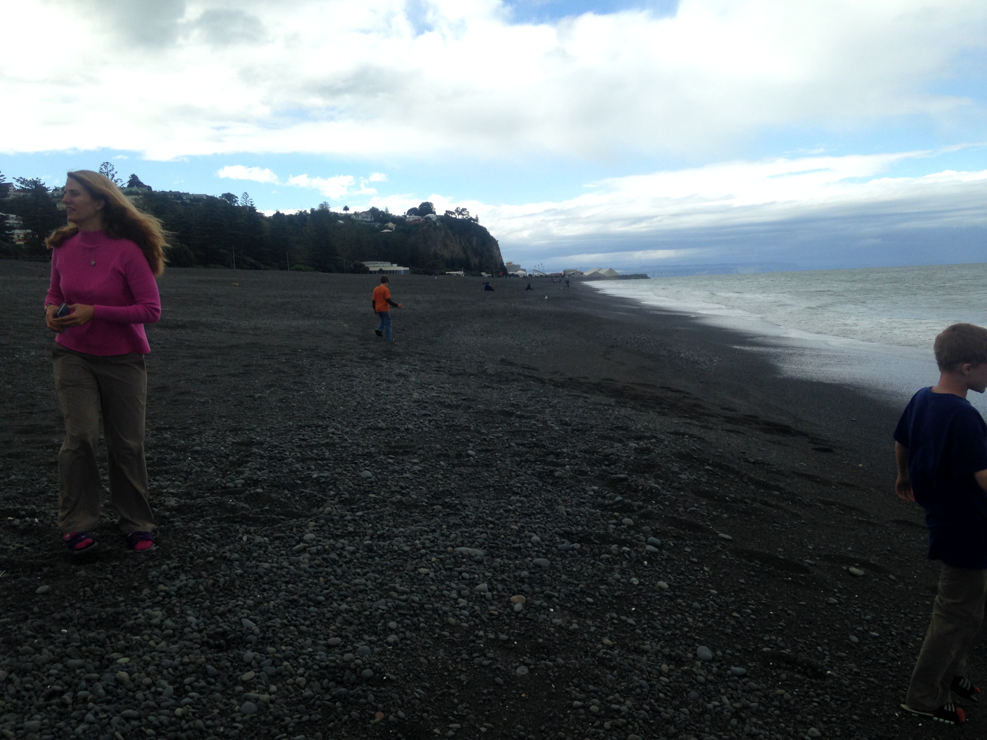
The rocky beaches of Napier
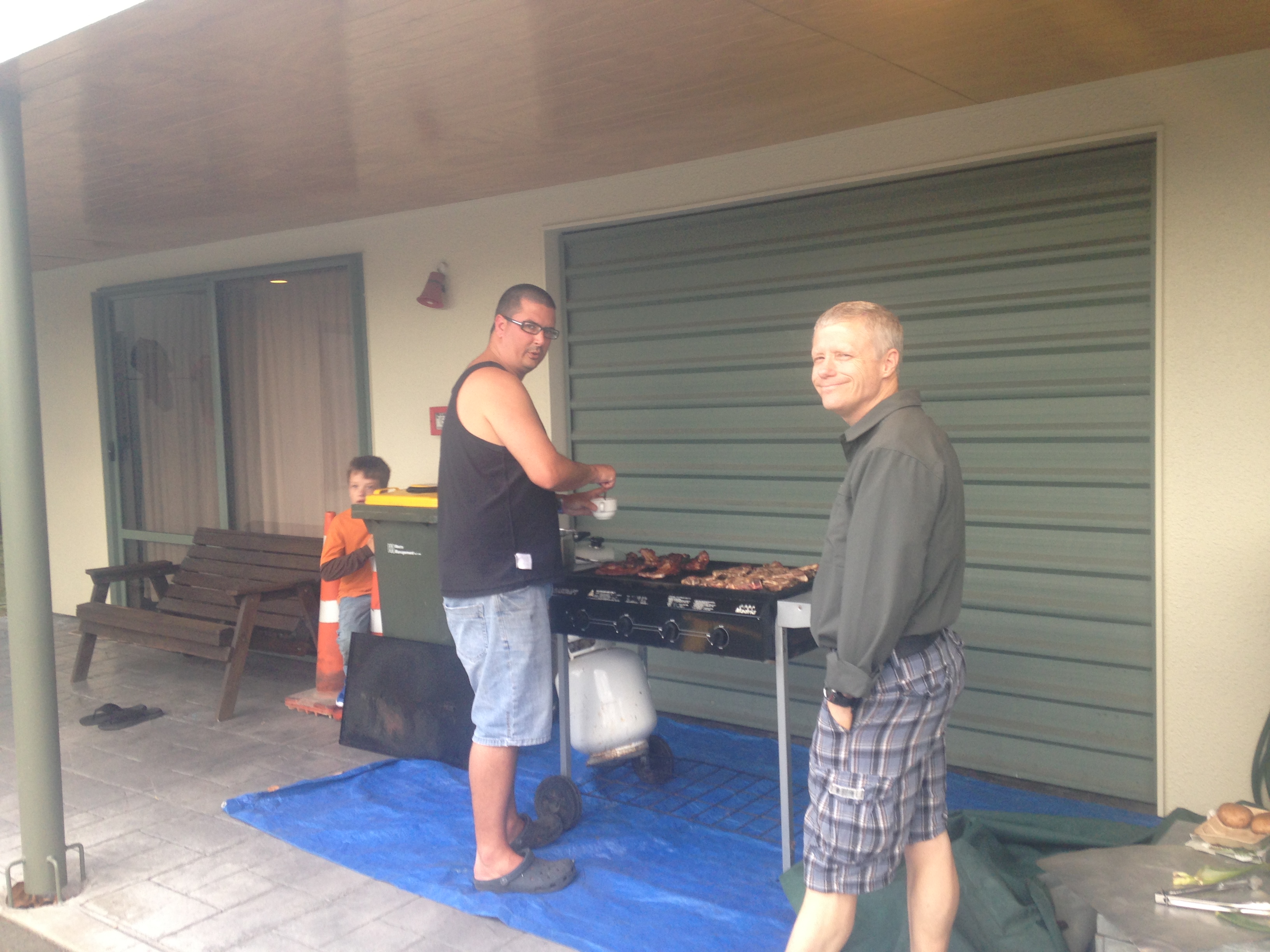
The kids play...
...while tea is prepared

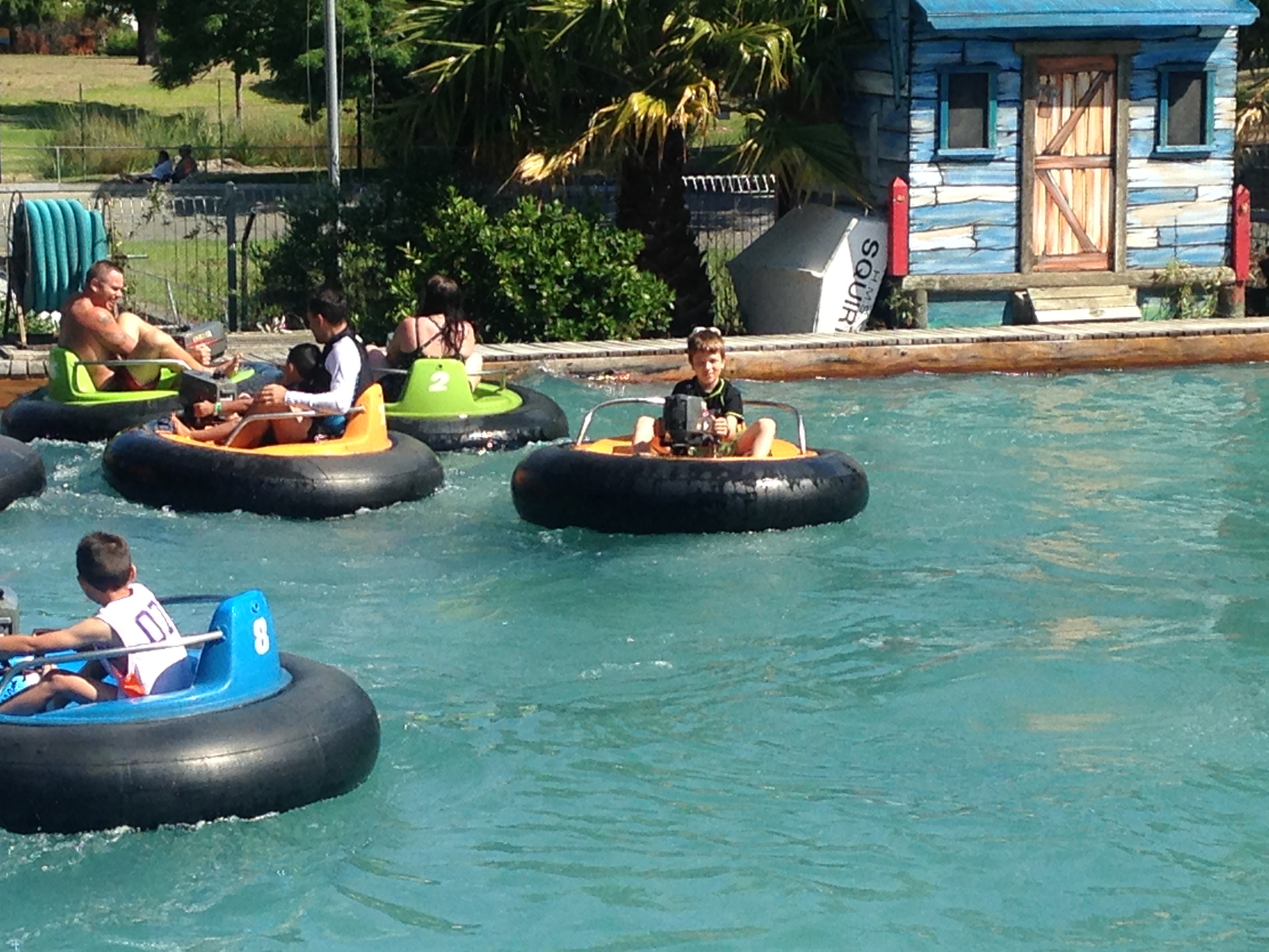
Day two had us at Splash Planet in Napier.  The park has both dry and wet rides
and the kids loved driving the go-carts.  The boys and I rode all the slides,
but New Zealand isn't the greatest location for a water park.  Even in
mid-summer the water was really chilly.
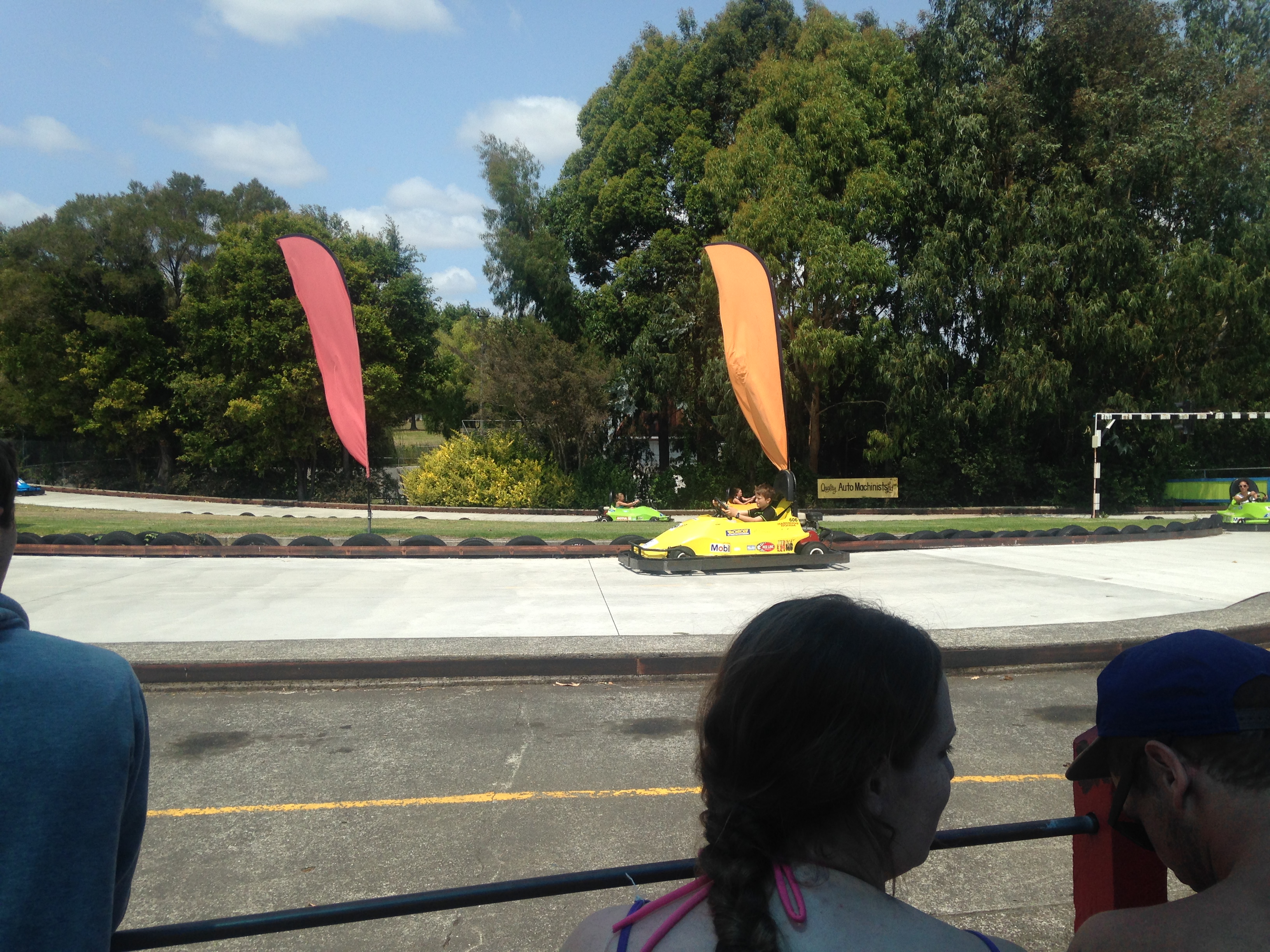
Jack Foyt
Bumper boats

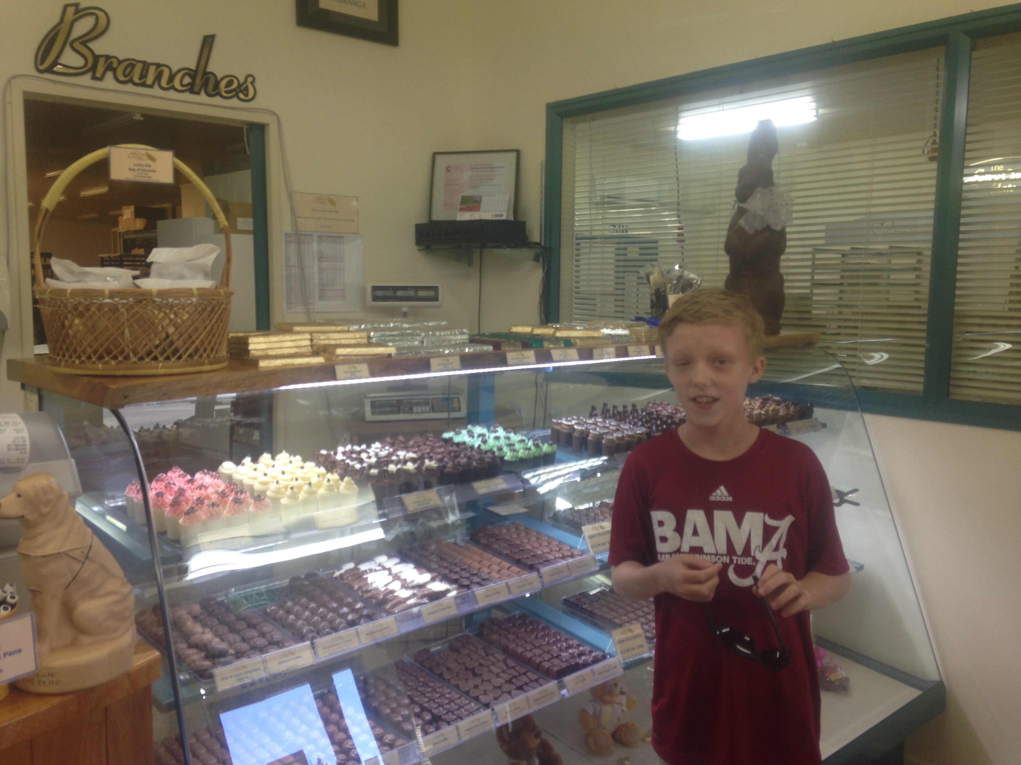
On Sunday, we went to the Silky Oak Chocolate company for a tour of their
museum.  This was the first of several chocolate factory tours we have planned.
We're planning to see Cadbury on the South Island next.  After chocolate
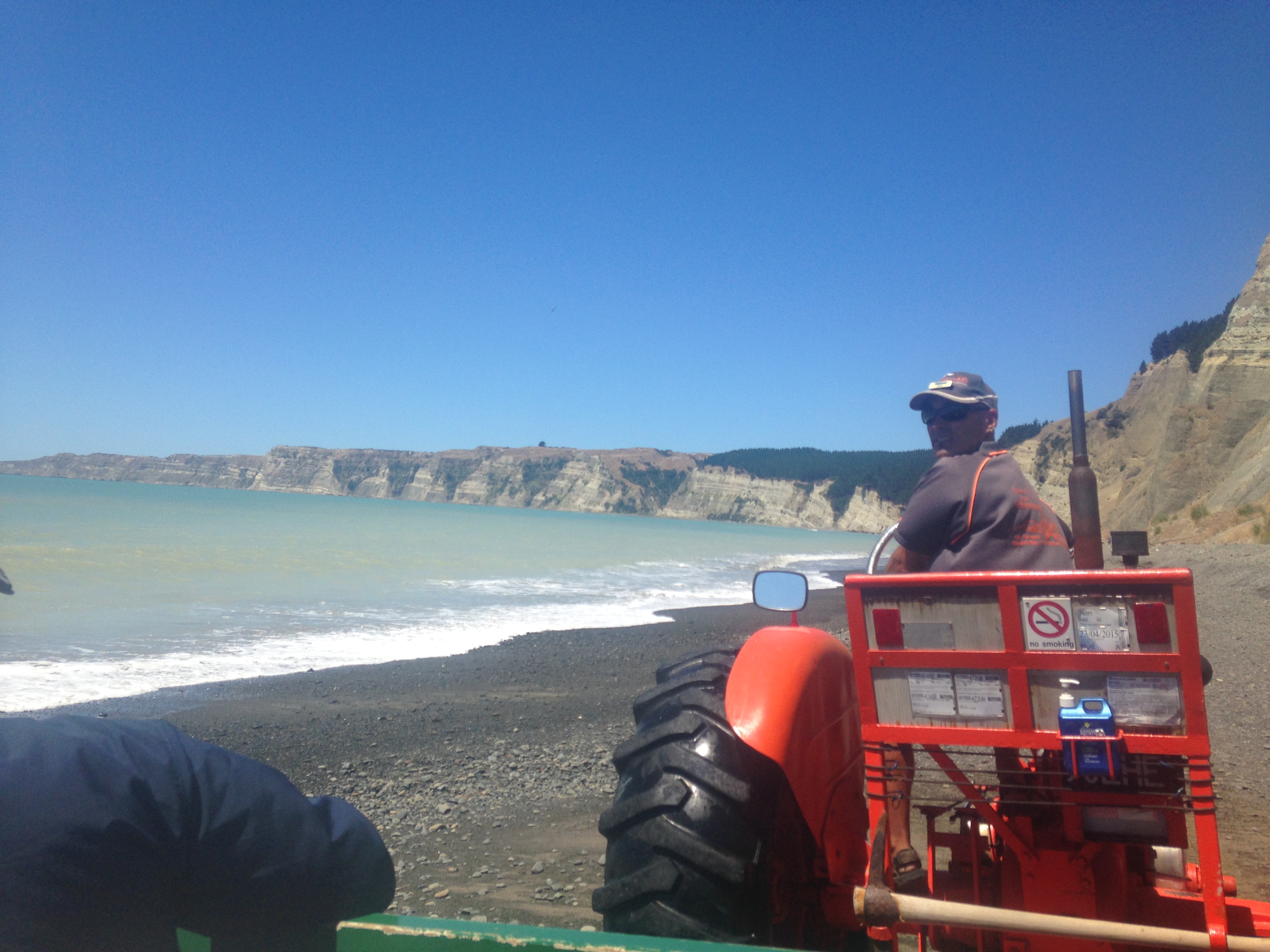
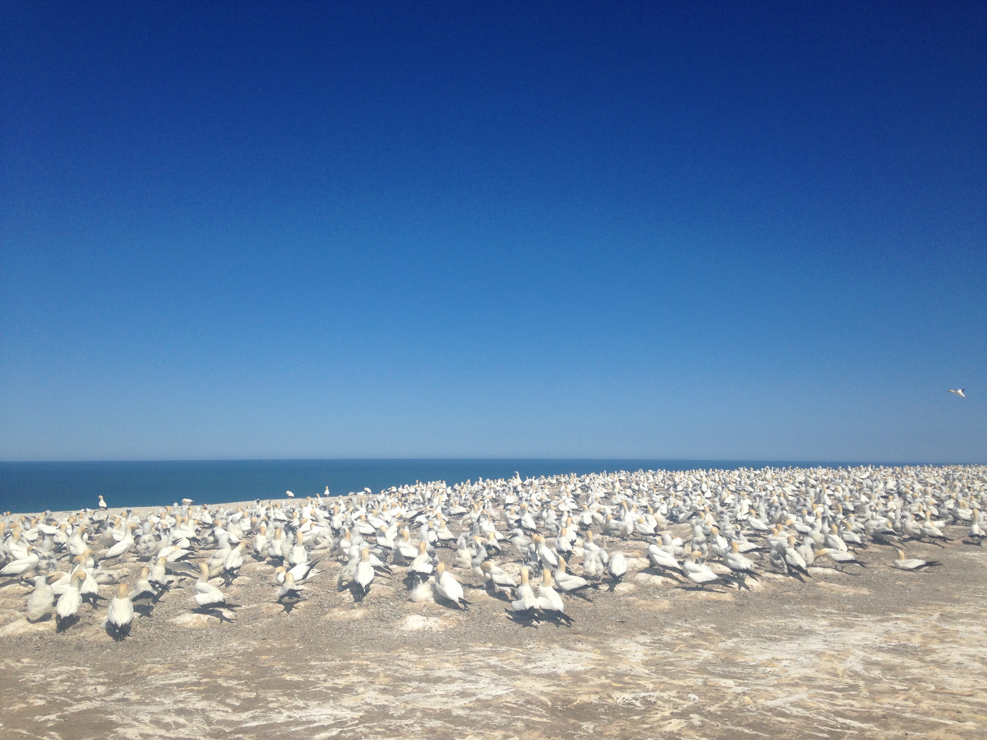
overload, we went for a tractor tour of Cape Kidnappers to see the sights and
the Gannet colony that roosts at the far end of the cape.  The cape tour was
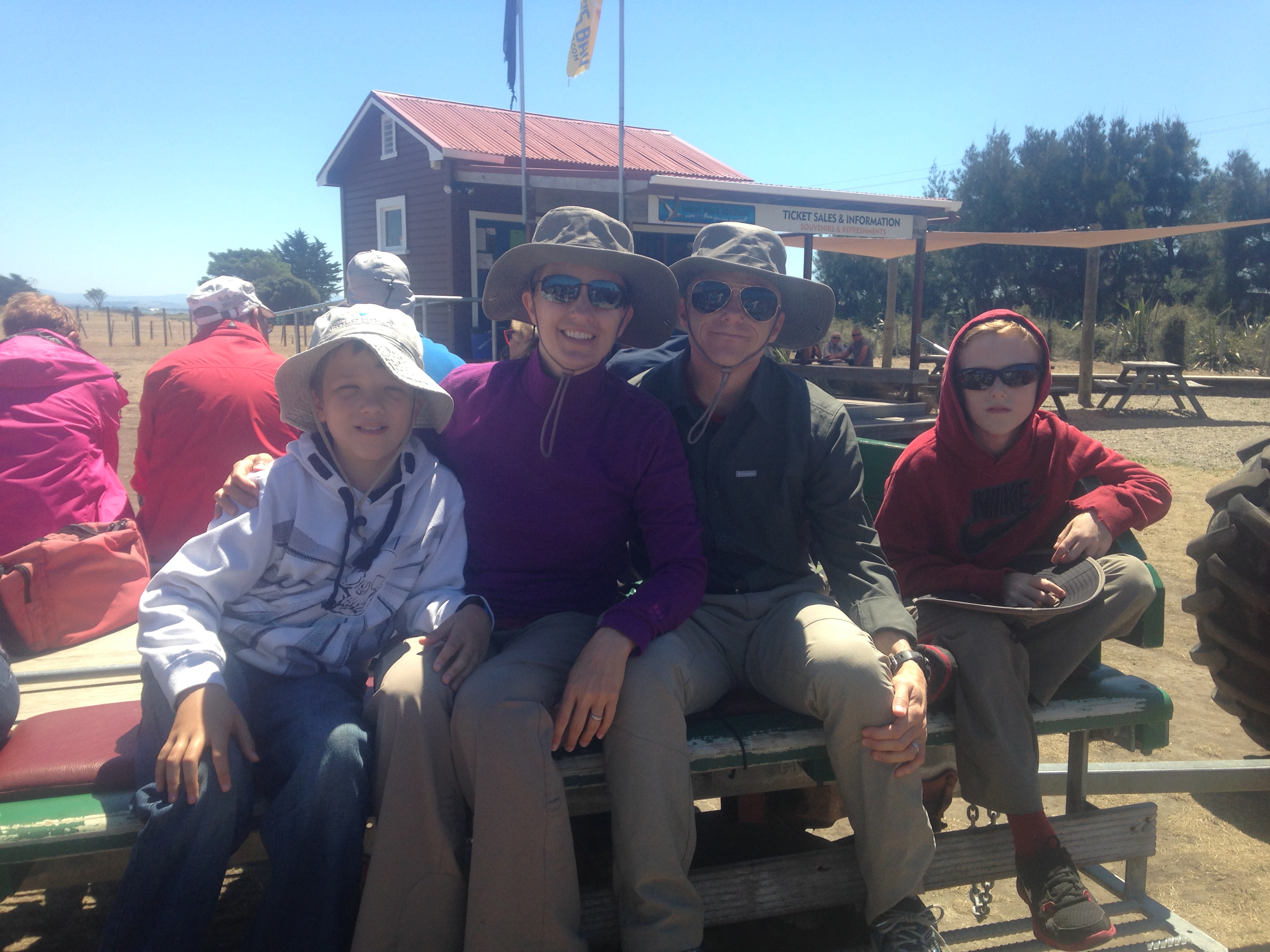
like a long hayride without the hay.  Old tractors pull trailers along the beach
and through the surf out to the end of the cape.
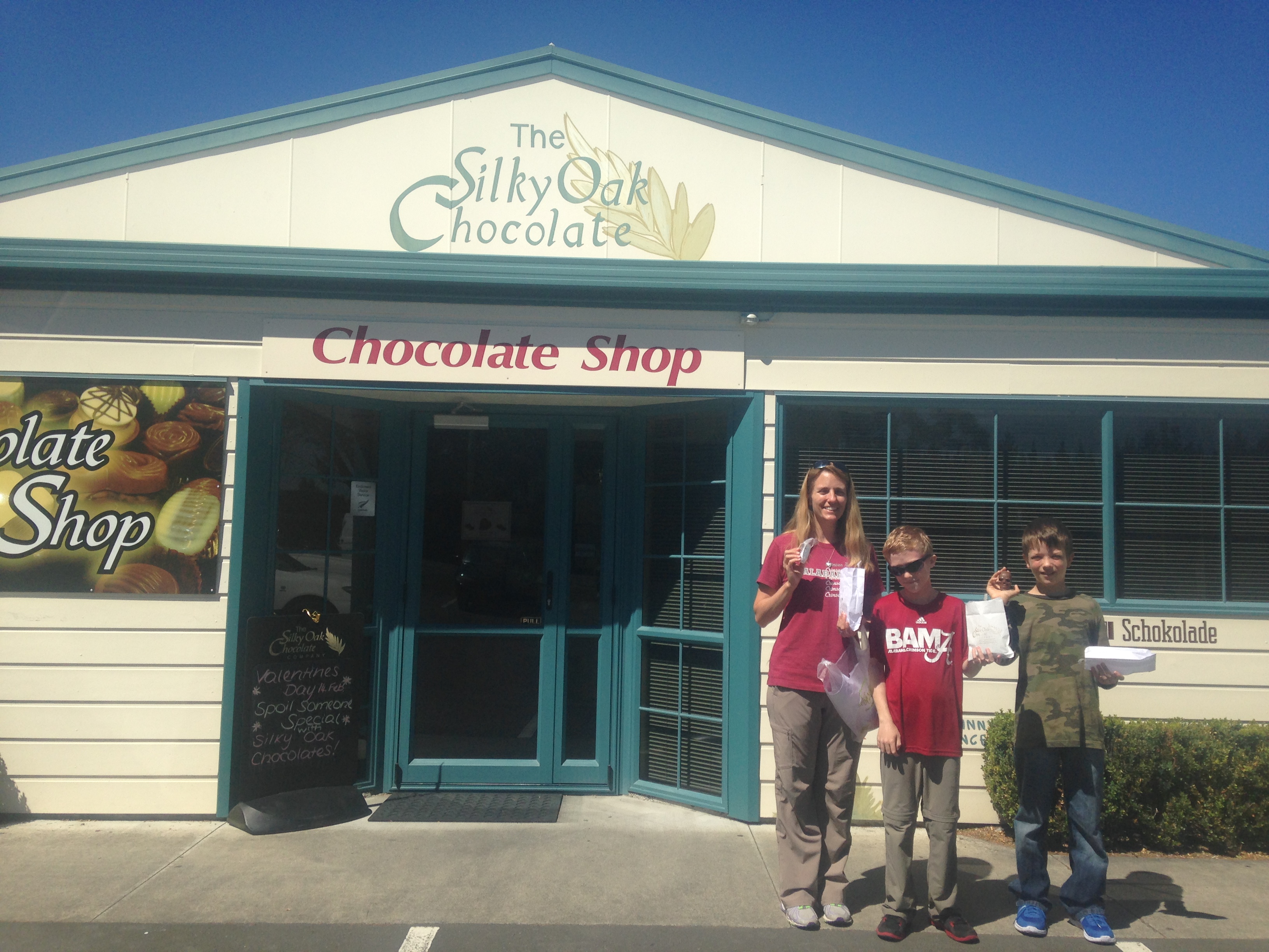
Chocolate souvenirs

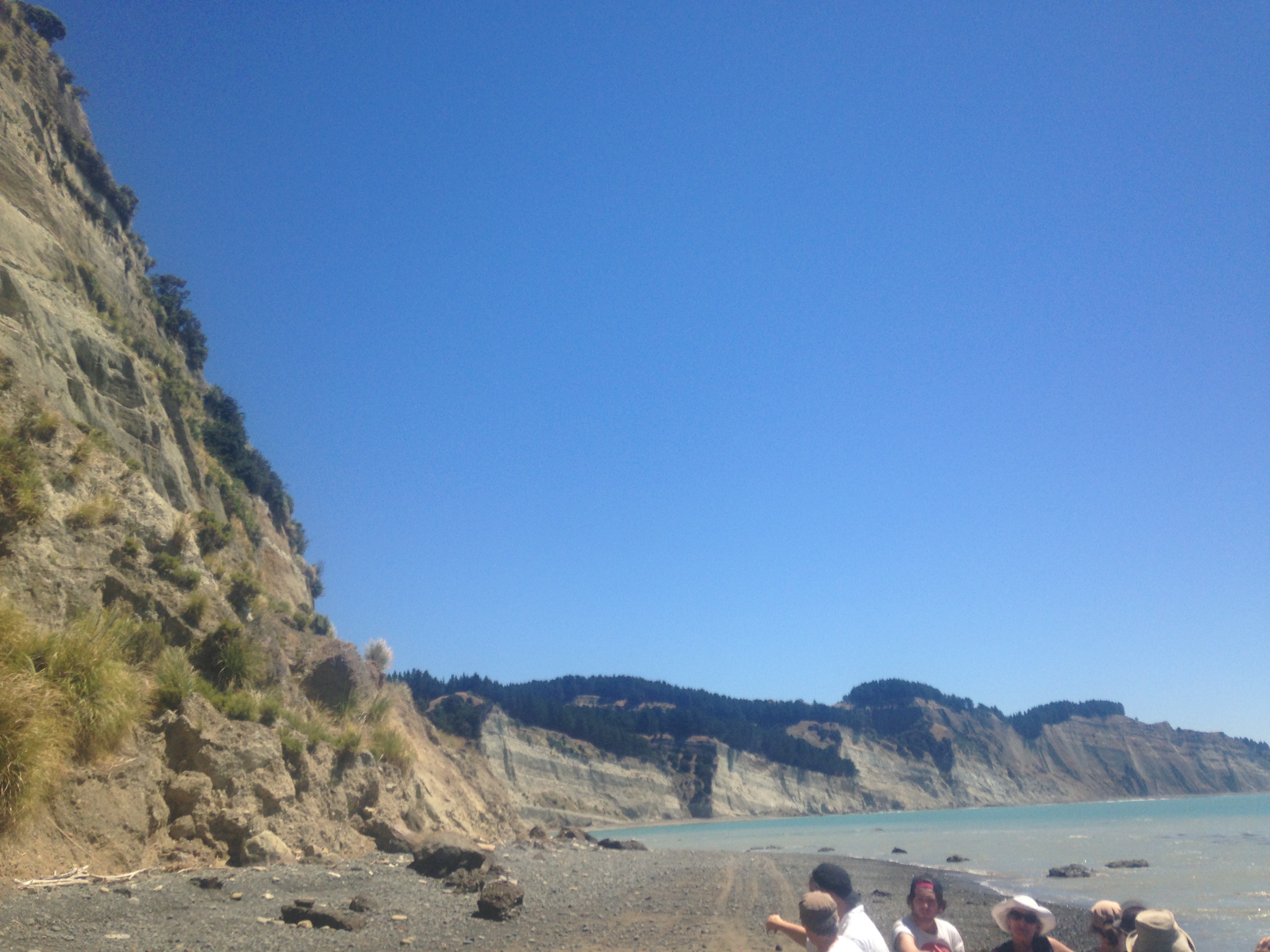
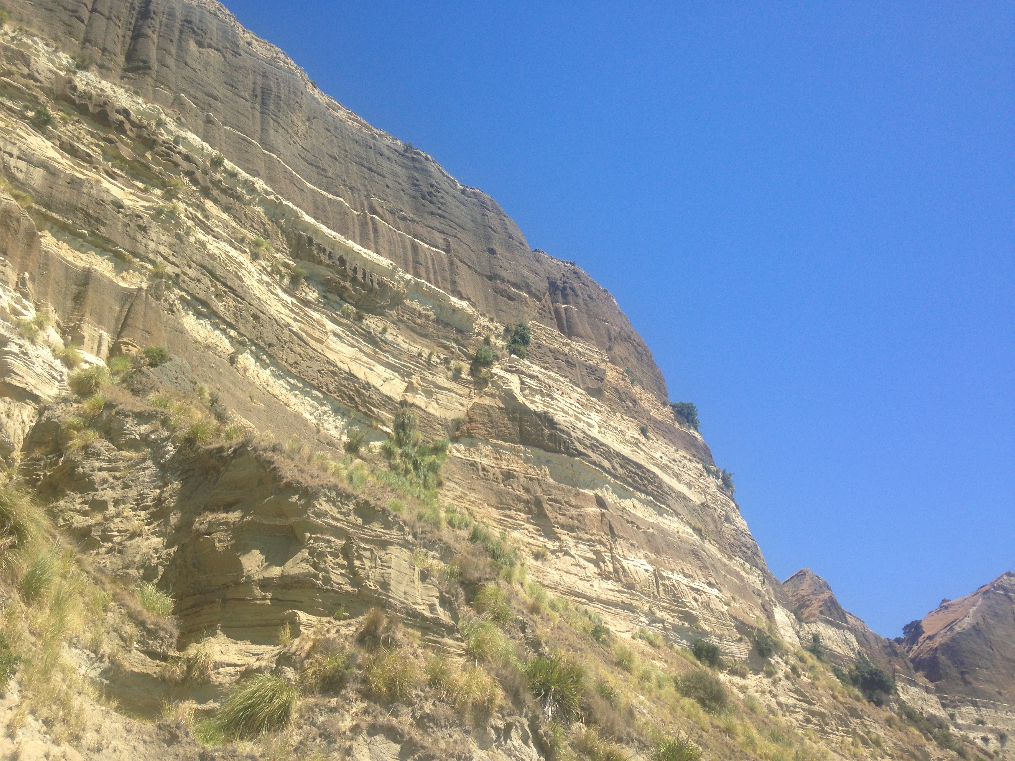
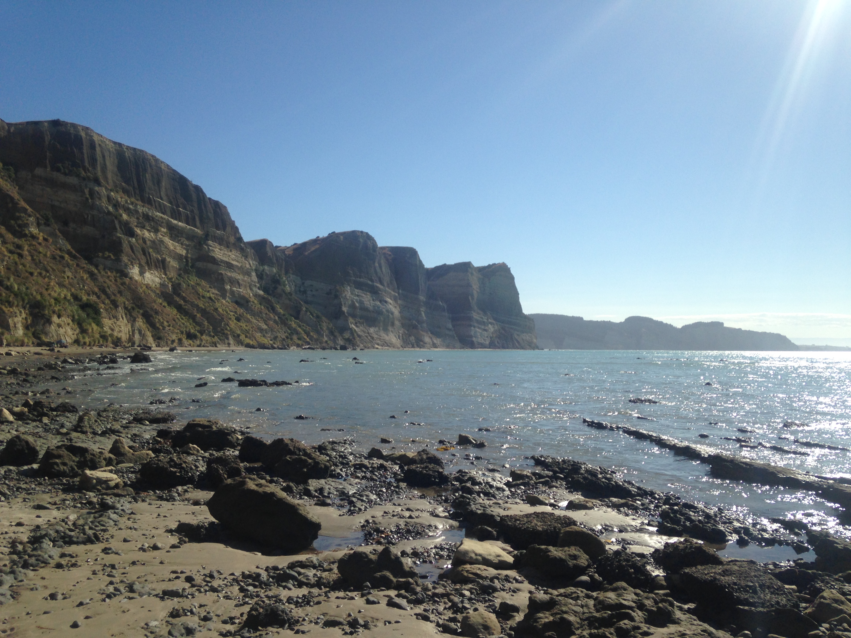
The geology of the cape is really interesting.  The end of the cape is being
pushed up by tectonic activity and the sandstone layers are very clearly tilted.
In a couple of spots along the cape, slip faults are visible in the layers,
another witness to the geologic activity of the region.

The hike up to the Gannet colony took about 45 minutes and the views were
spectacular.
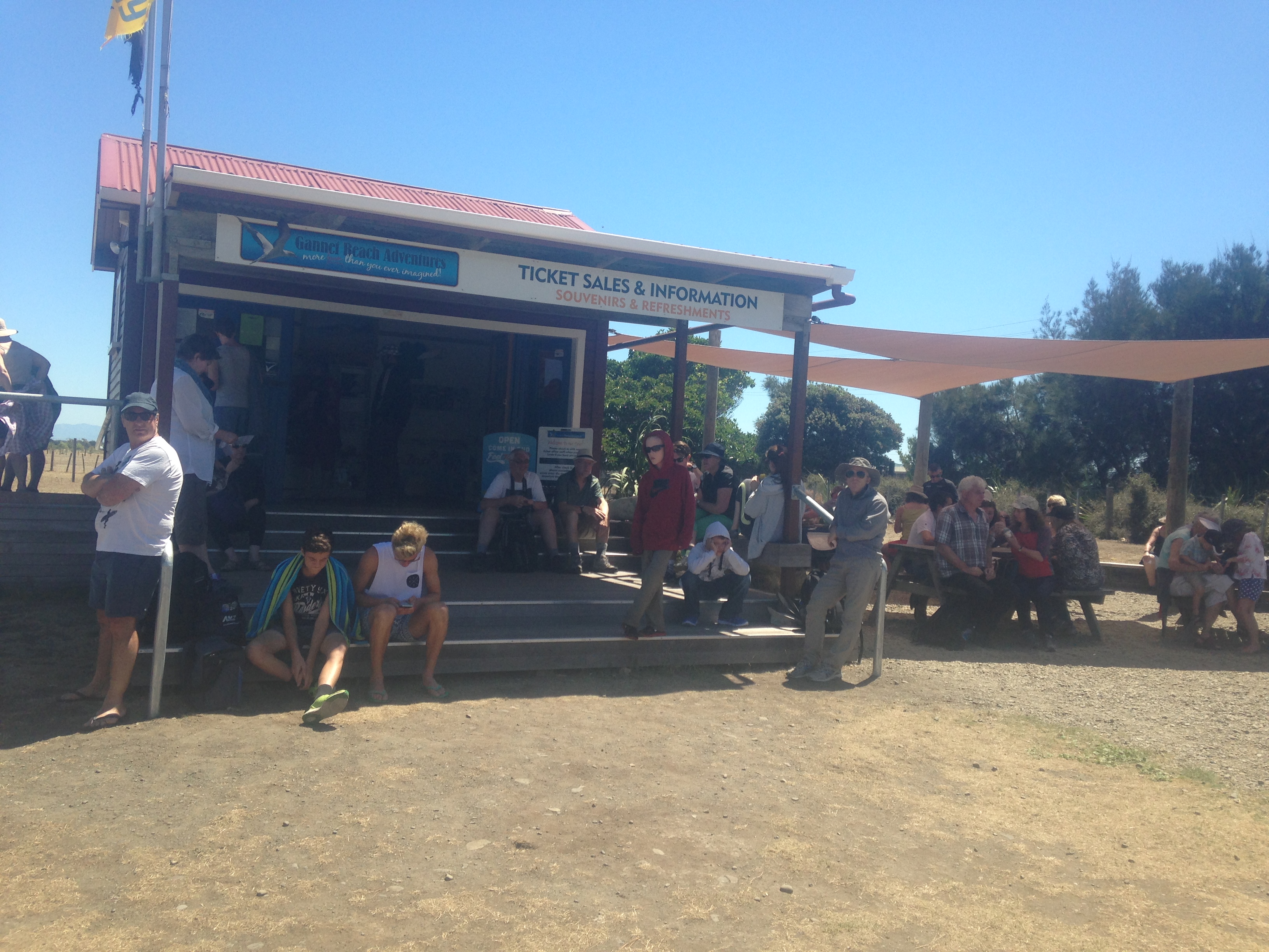
Waiting on tractors
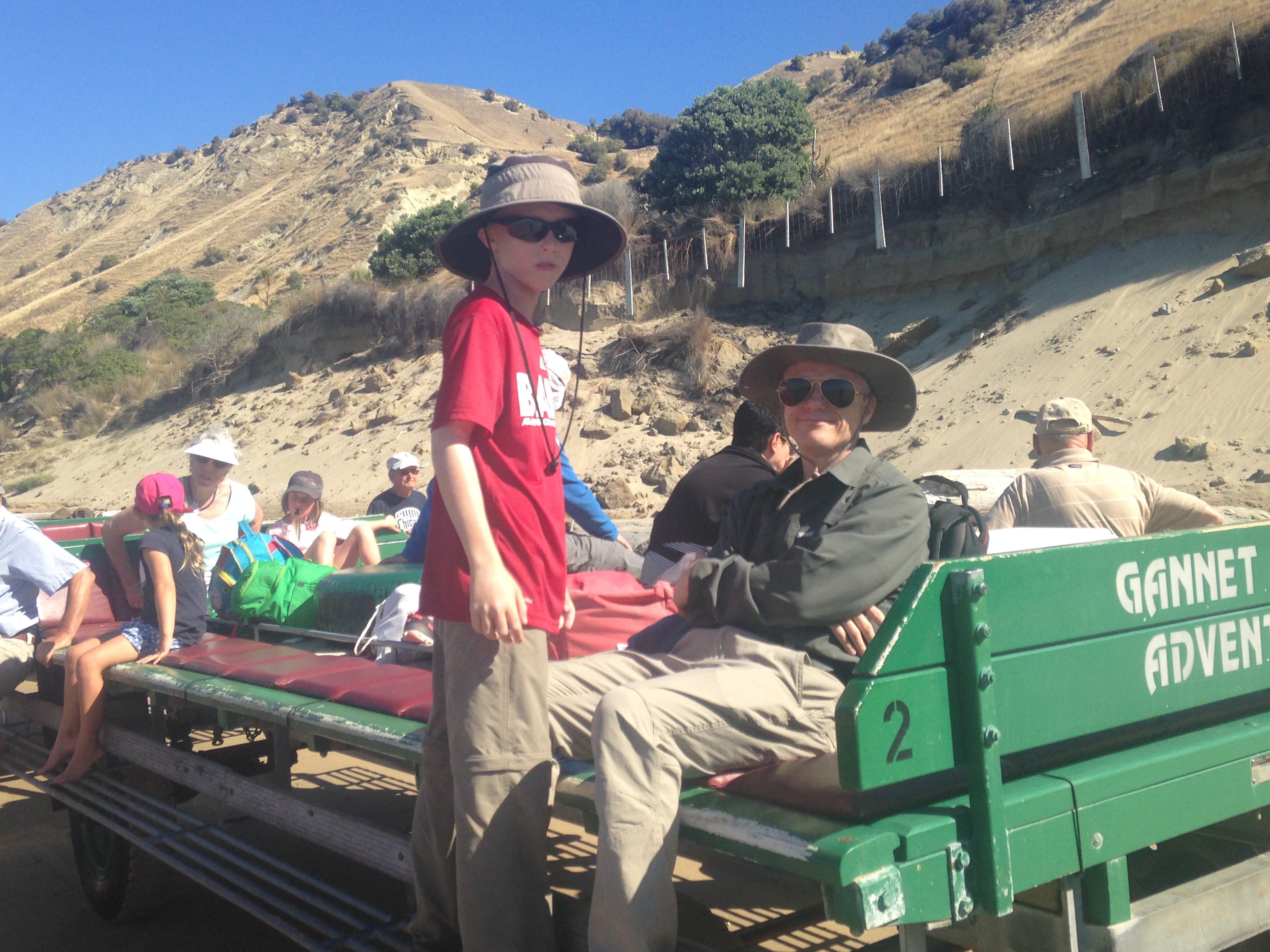
On the trailer
Our tractor driver, Collin
Tilted layers
Slip fault
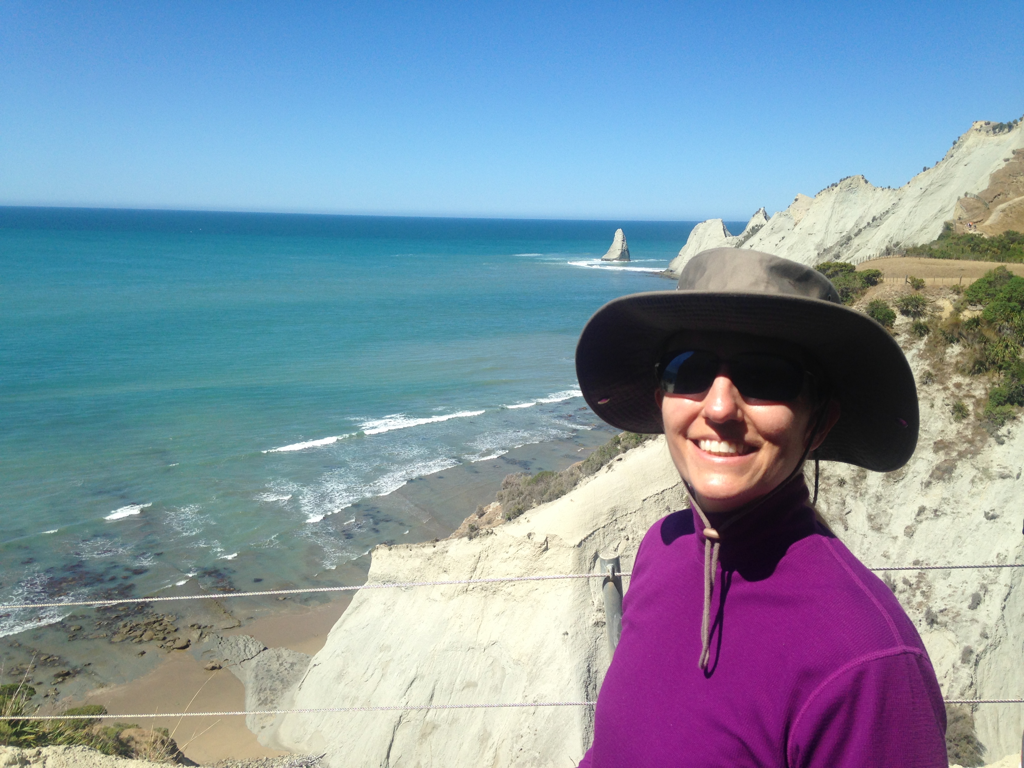
The view toward Napier
The end of the cape
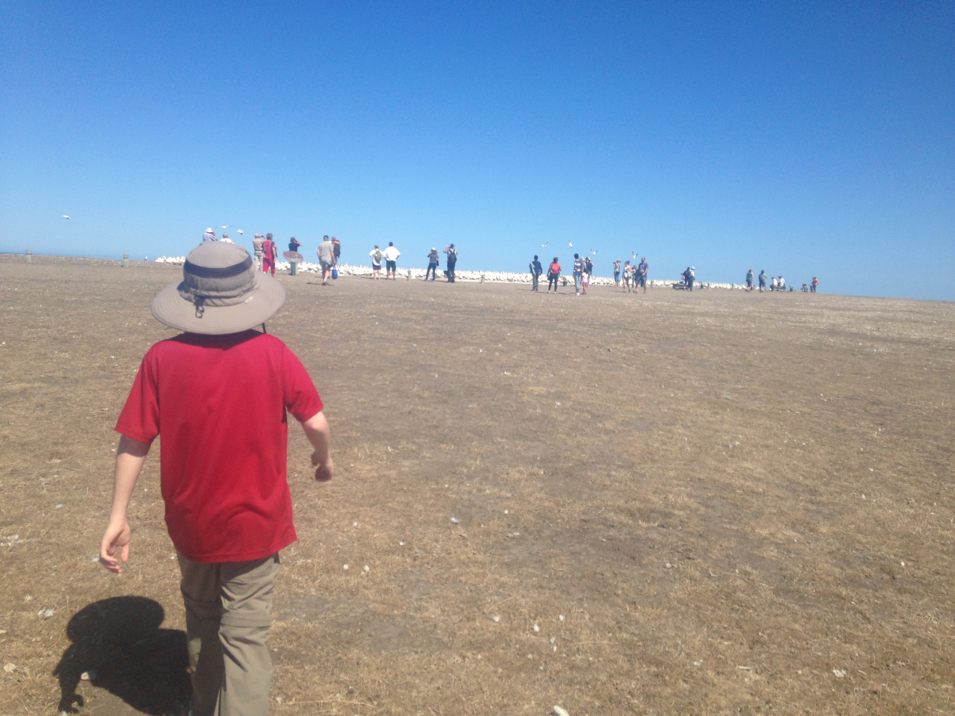
Marching to the birds
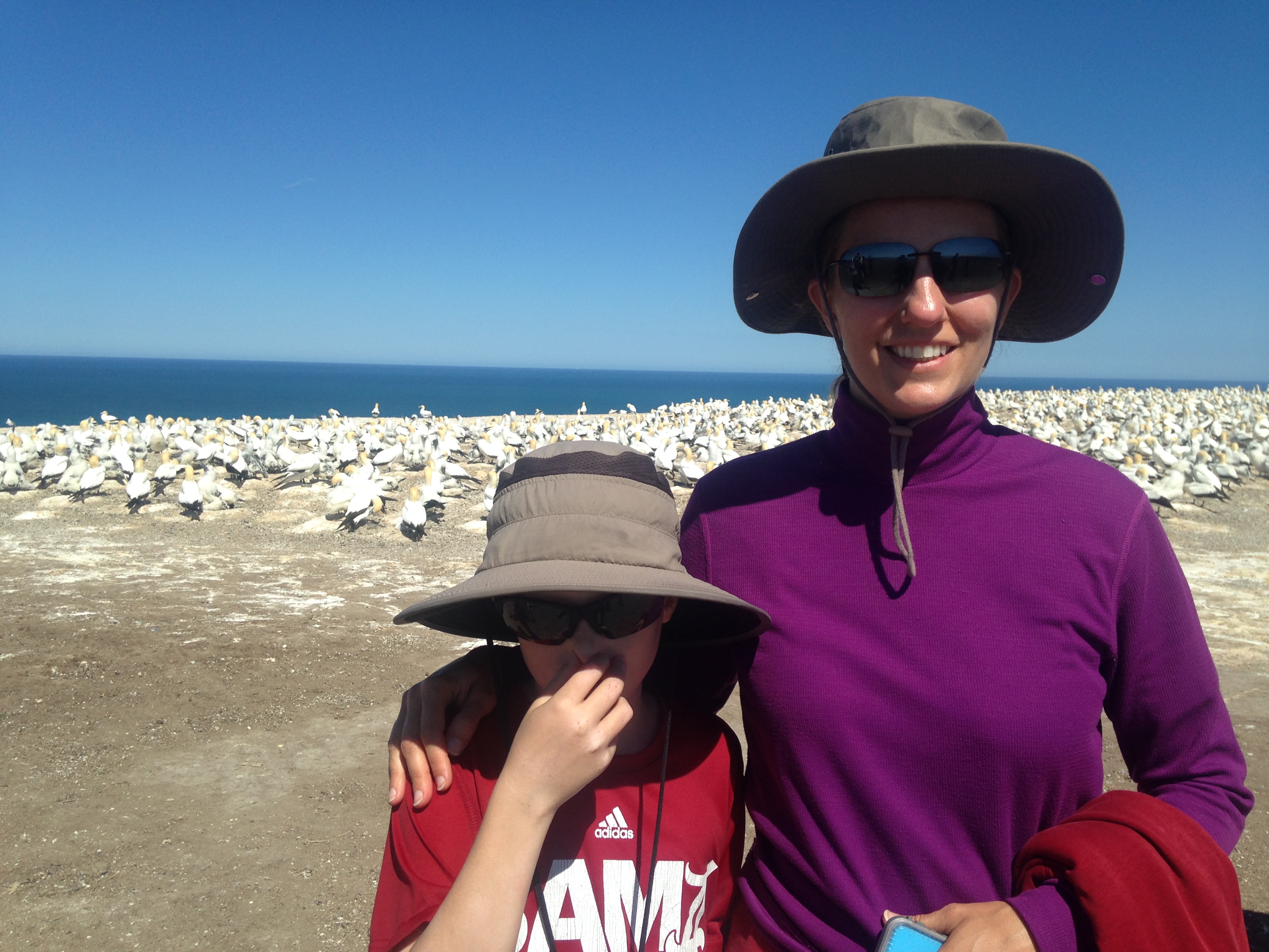
And they stink
Pano of the colony
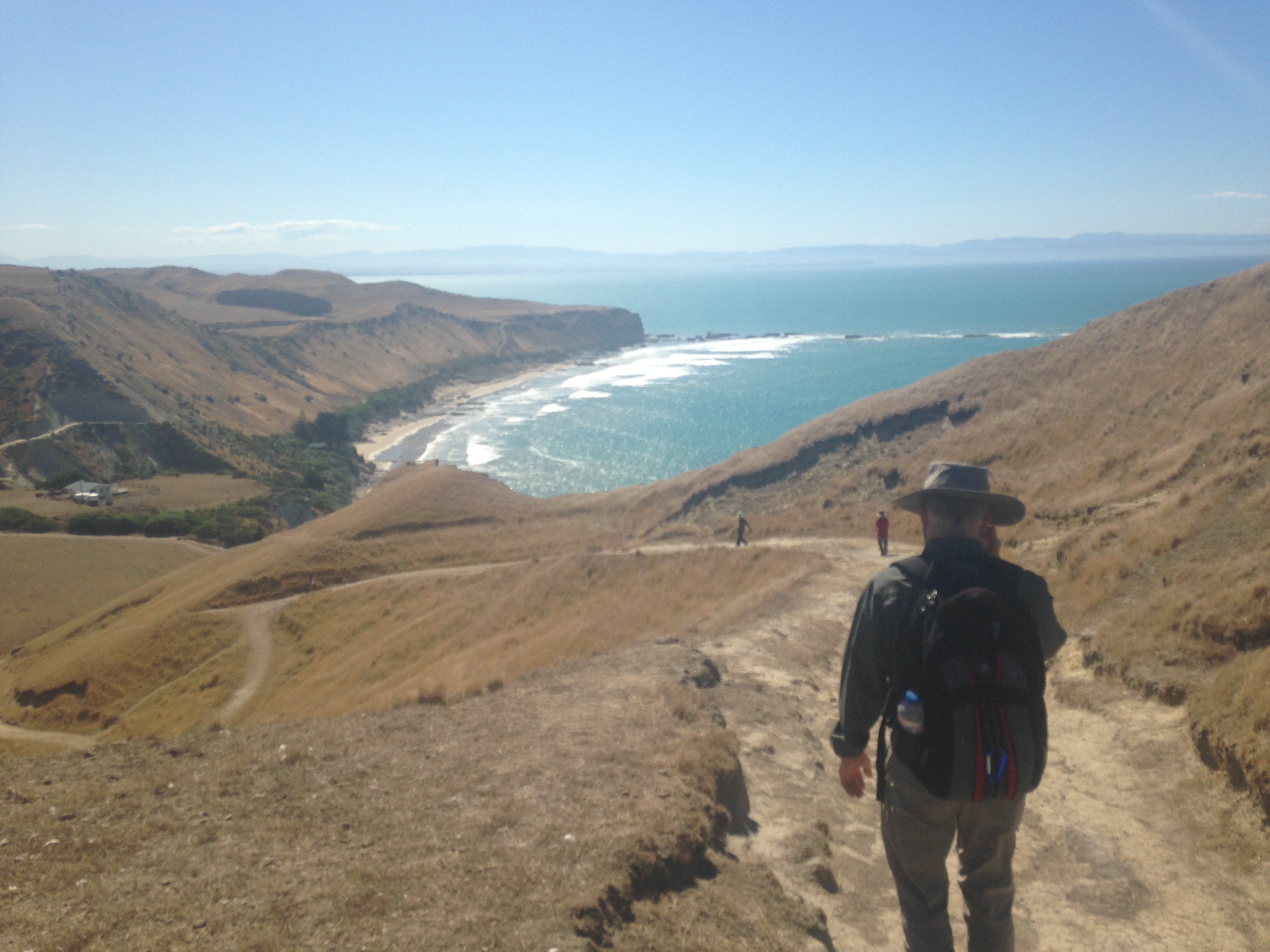
Down the hill
Playing in the surf
Waiting on a ride home
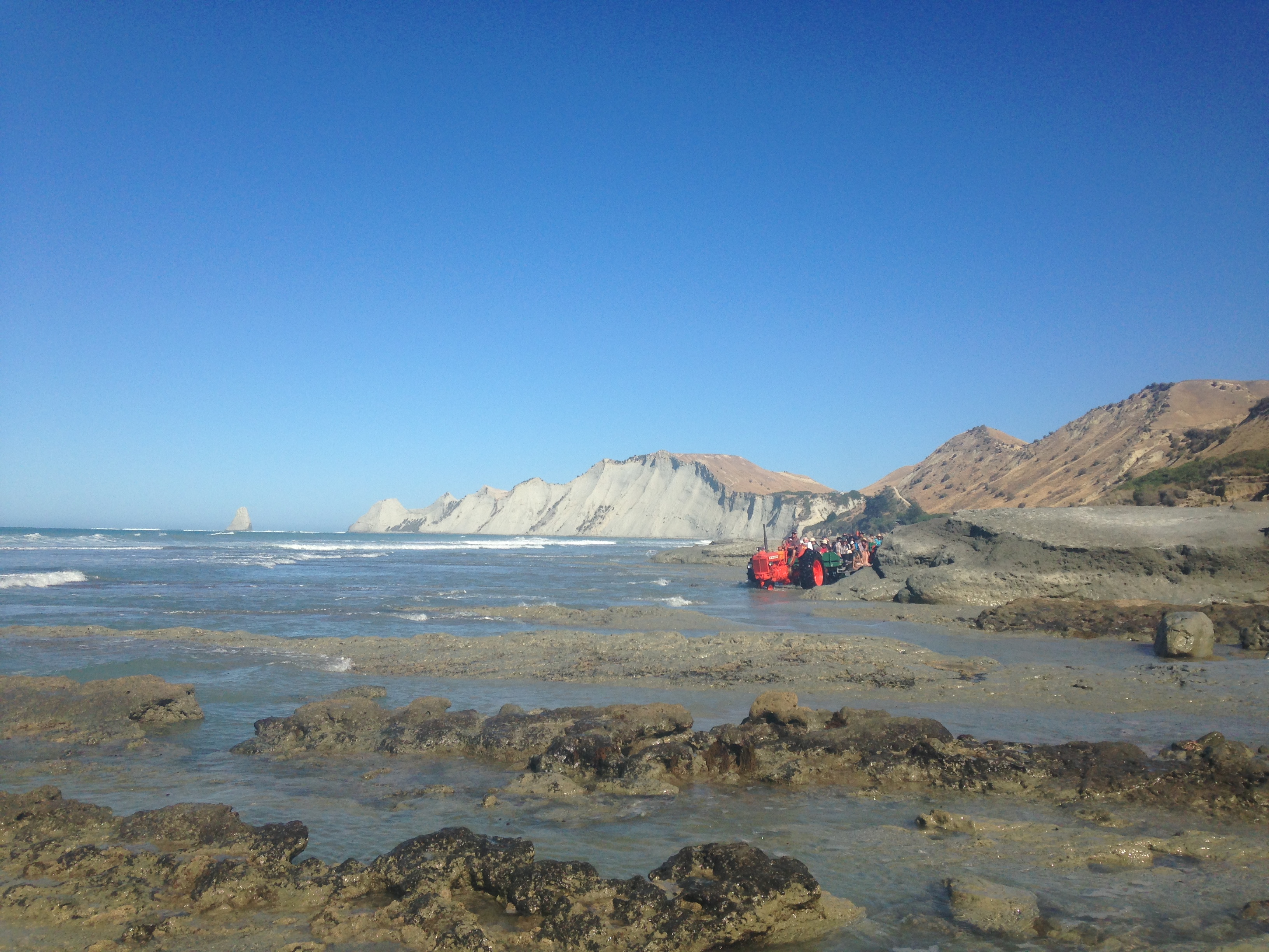
Tractor through the surf
Another view of layering
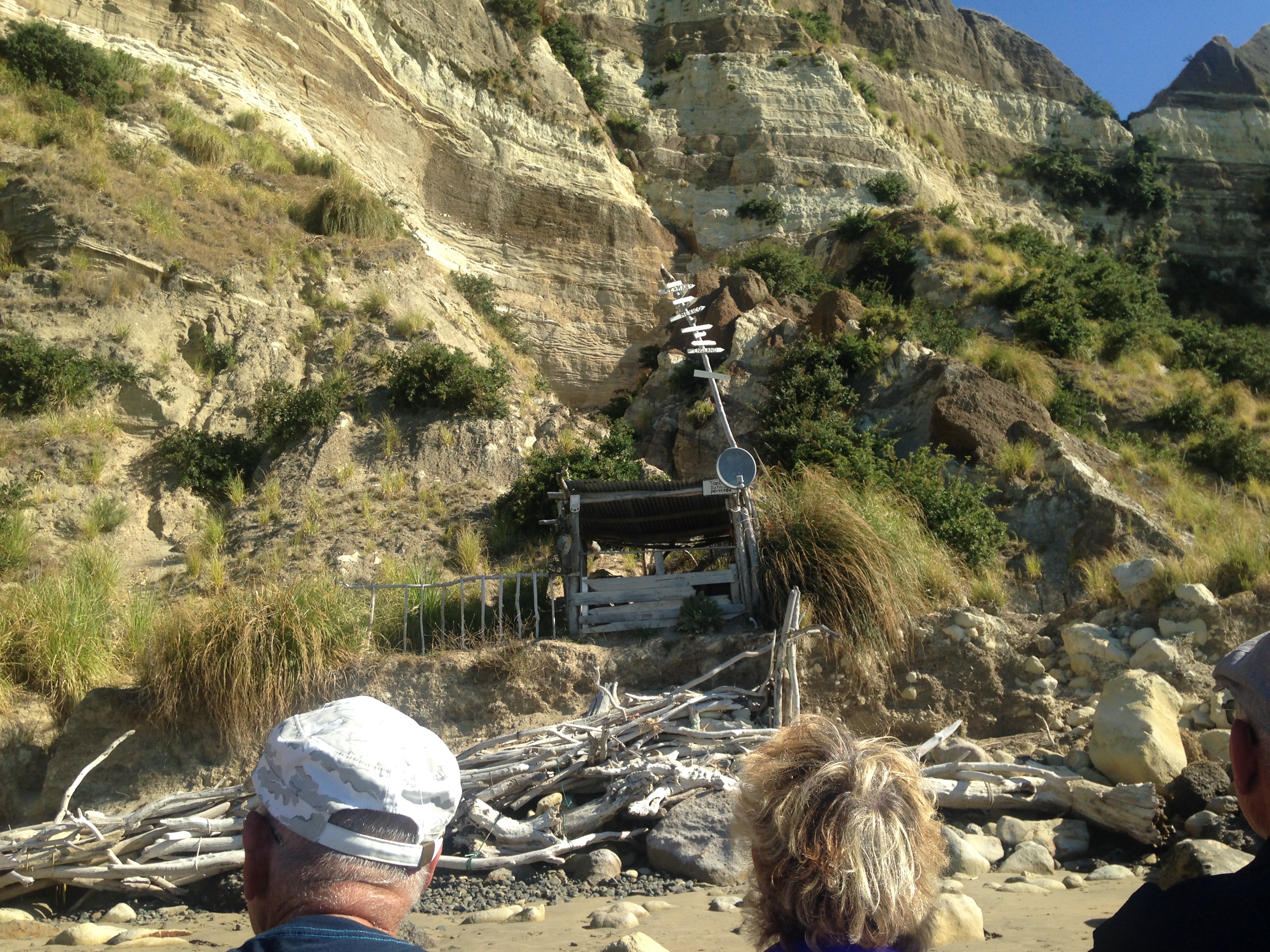
Sign on the shack reads, "Topless bathing permitted"

22 February 2015

Mufti Days

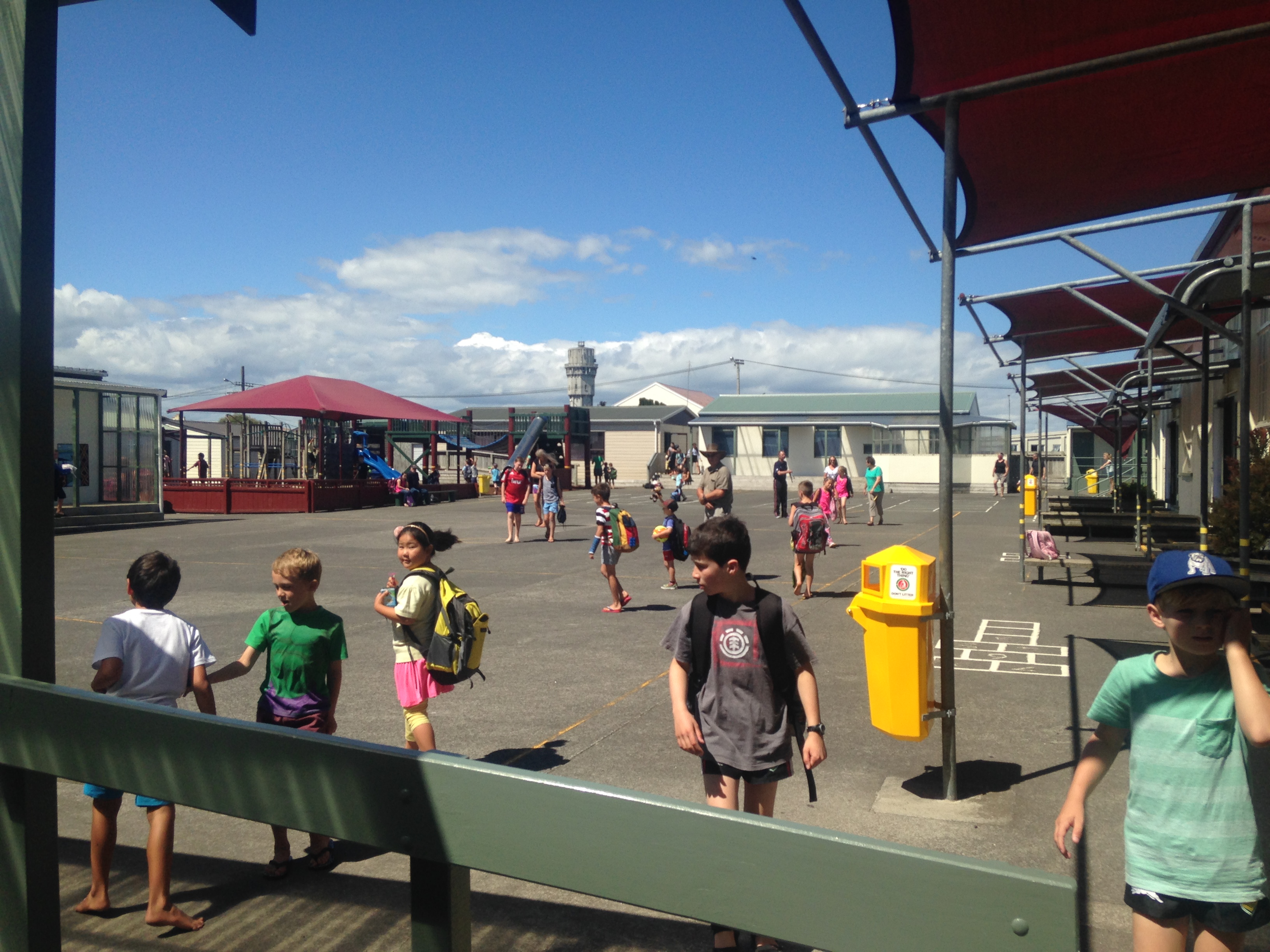
Occasionally, the school will allow the kiddos to show up in street clothes, vice wearing uniforms.  These days are call Mufti Days.  Generally, the school uses Mufti Days as motivation for fund raisers, so the kids can wear street clothes if they bring in a canned food or some such.

We had a Mufti Day last week to help out a student's dad injured in a motorcycle accident.  It's always a little bit of a shock to get to school and see no uniforms.

21 February 2015

Sting and Paul Simon

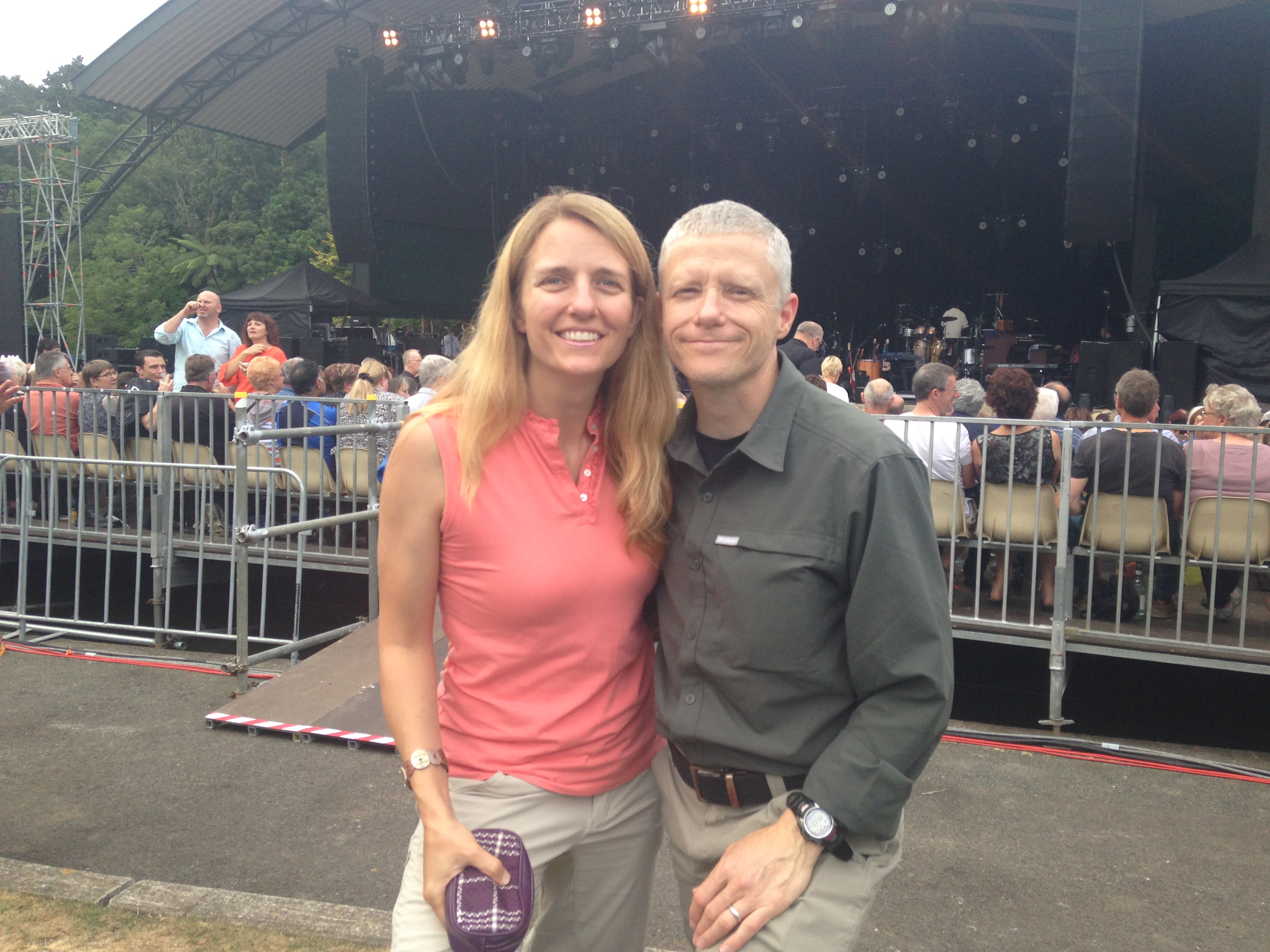
Laura and I went to New Plymouth at the end of January for an evening without kiddos.  We had dinner with our fellow Hawera ex-pats, James and Elise, and after dinner we walked to the TSB Bowl of Brooklands for a concert.

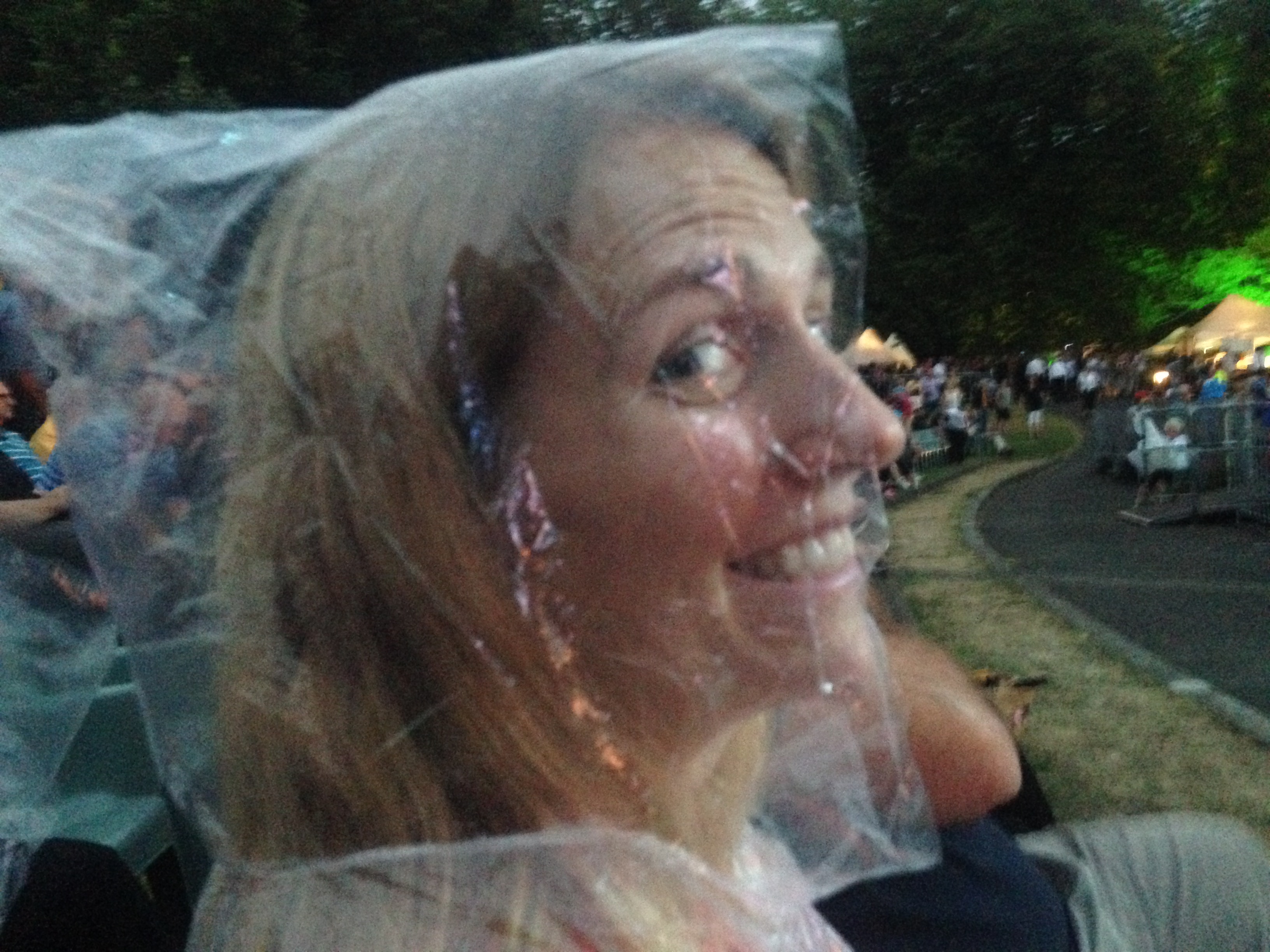
We went to see Sting and Paul Simon in concert together.  It was a great show and the first time we'd seen either performer live.  They had a huge cast on stage with at least sixteen musicians in the combined bands.  The weather was a little iffy, but it only sprinkled on us for a few minutes, not nearly enough to dampen the pleasant evening.

Tongariro Crossing

2015-02-21

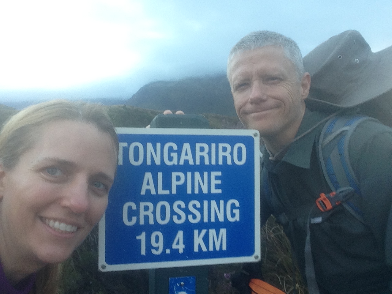
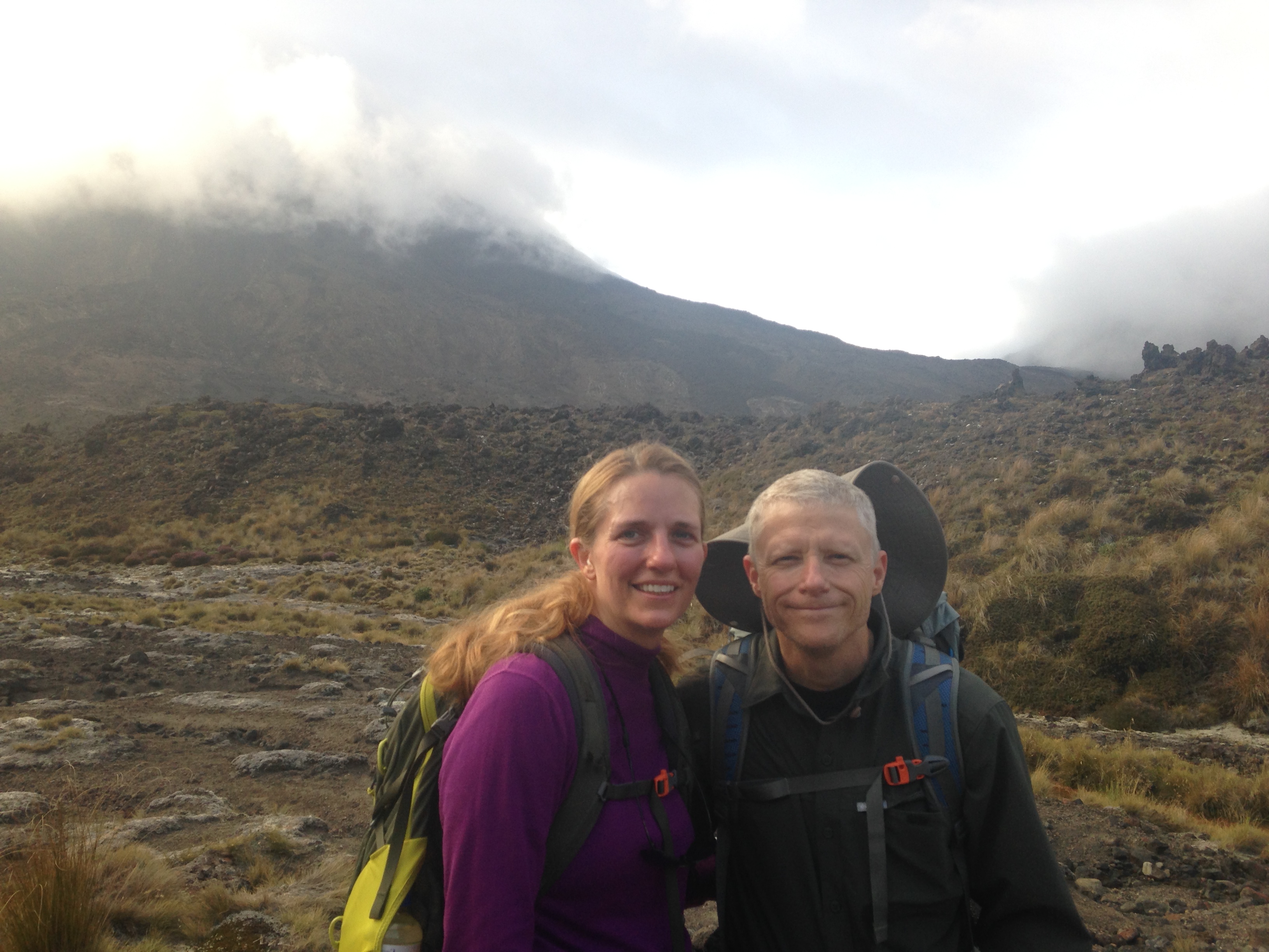
Today we tackled the Tongariro Crossing, billed as the best one day tramp (Kiwi
for hike) in New Zealand.  The standard way to make the crossing is to park near
the northern terminus of the track and catch a shuttle to the southern trail
head where you begin the tramp.

On a beautiful day, you can see for miles as you summit Red Crater along the
trail.  You can also climb to the 7500 ft summit of Mt Ngauruhoe, the stand-in
volcano for Mt Doom in the Lord of the Rings trilogy.

Today was not one of those days.  Early in the week, the 5 day weather guess
(forecast) called for clear skies and calm winds.  I hastily made kid-sitting
arrangements, got a motel for the night and booked a ride with a mountain
shuttle service.  As the week wore on, the weather guessers were still calling
"Cloudy in the morning with fine spells", but my instinct was to cancel the trip
as I saw the tail end of Tropical Cyclone Marcia tickling the west coast of New
Zealand.  I should've gone with my instinct.

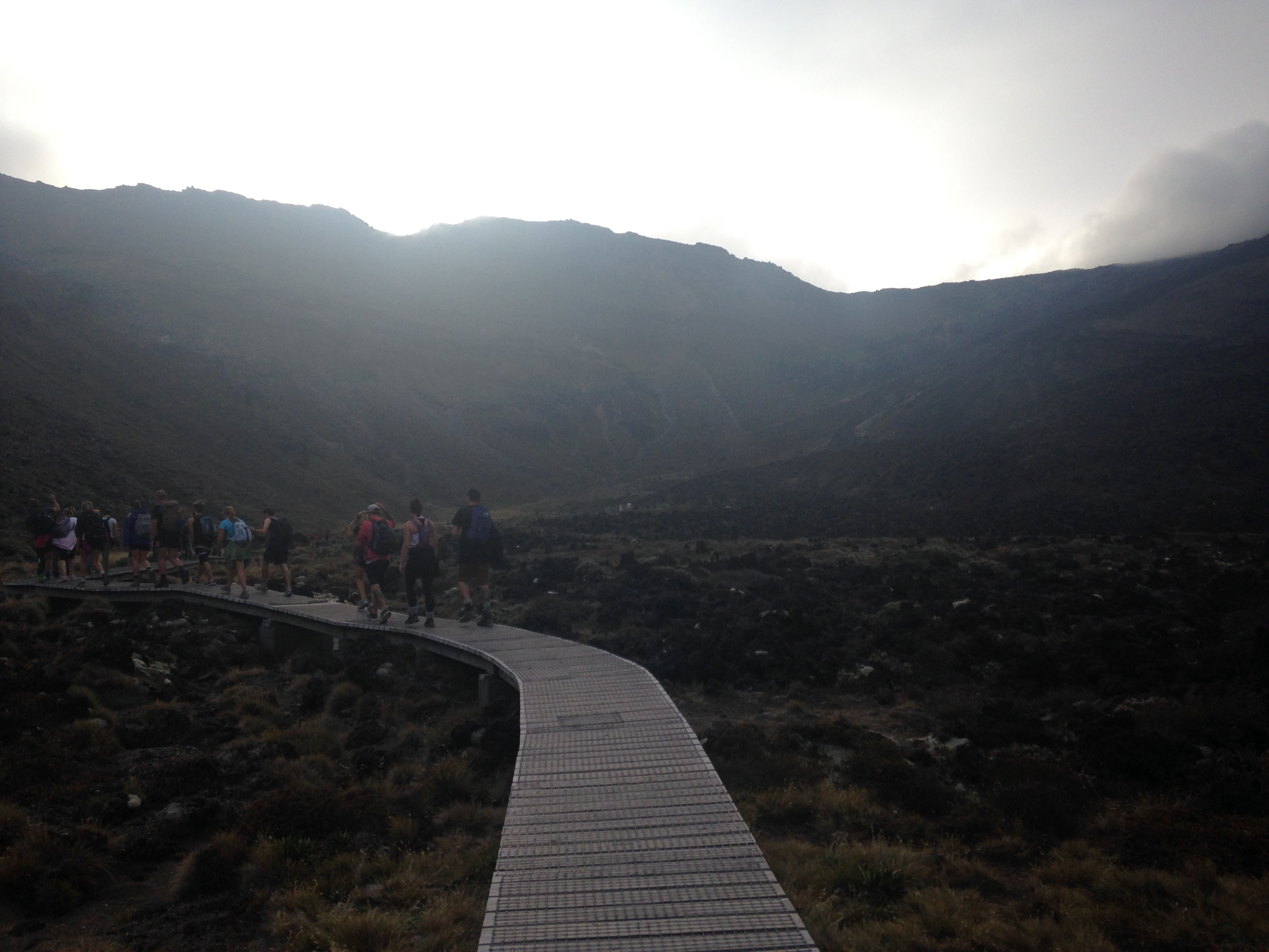
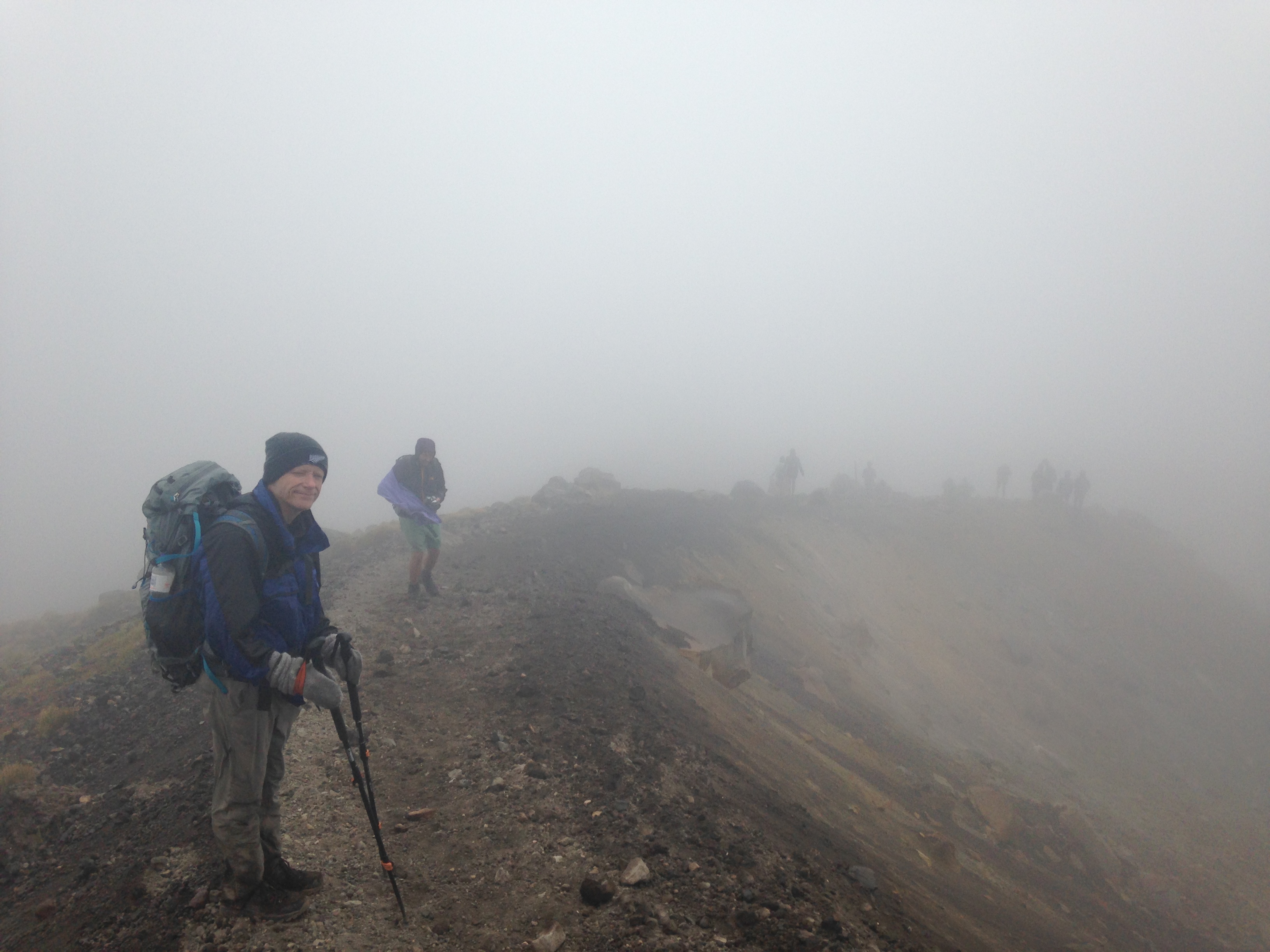
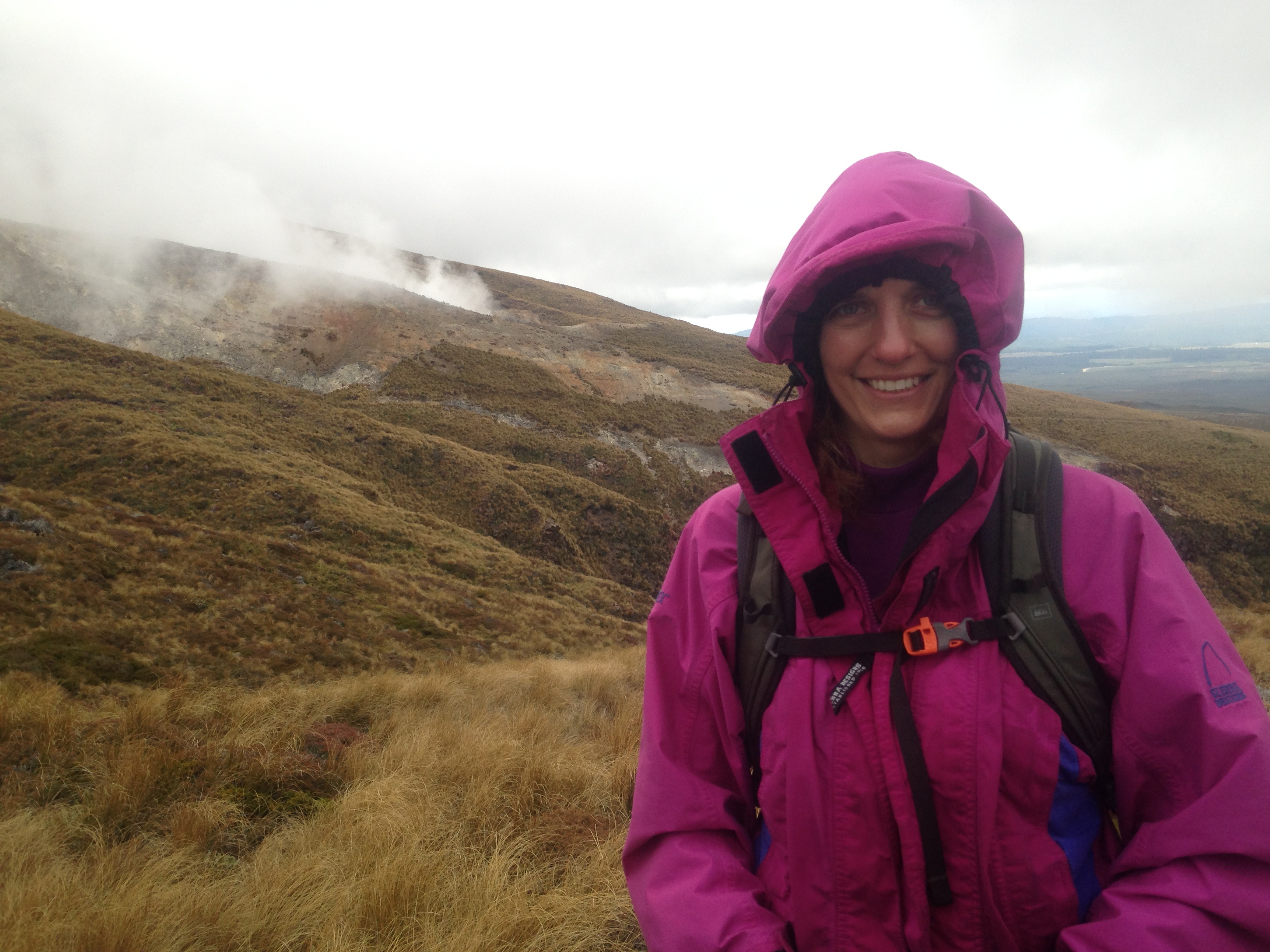
Our crossing was a fight against the weather for two of the seven hours it took
to complete the hike.  The summit of Red Crater is only about 6400 ft above sea
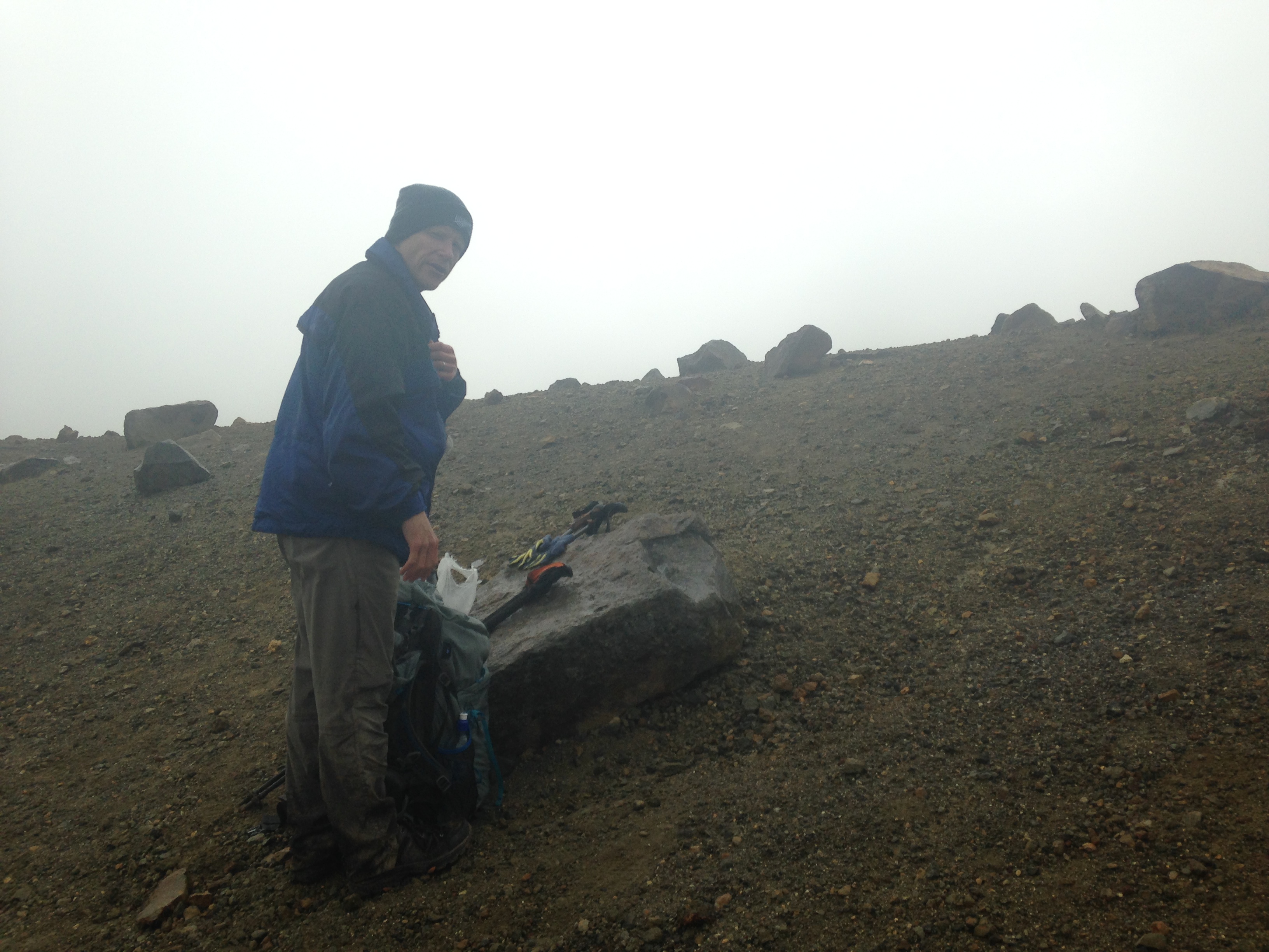
level, but there was a steady 40+ knot wind from the west with driving mist that
soaked us.  We were solidly in the weather and experienced none of the vistas we
had hoped to see.

Oh well.  At least we packed layers to ward off the cold and we didn't wear a
stitch of cotton.  Many of our fellow hikers were in shorts with light jackets
(some with jeans).  We were miserable, but they were pushing their luck.  It was
challenging.  We never intended to take the kids as the are-we-there-yets would
have been overwhelming.  Some kiddos did make the hike, but not many.

If anyone is interested in hiking on the track, I would suggest leaving your car
at Mangatepopo car park (the southern trail head) if there is the slightest hint
of bad weather.  Plan and execute a hike to Red Crater and return to
Mangatepopo.  Doing this, I think you'll see 90% of what there is to see and
you'll be in a better position to make a no-go decision if the weather turns
nasty.

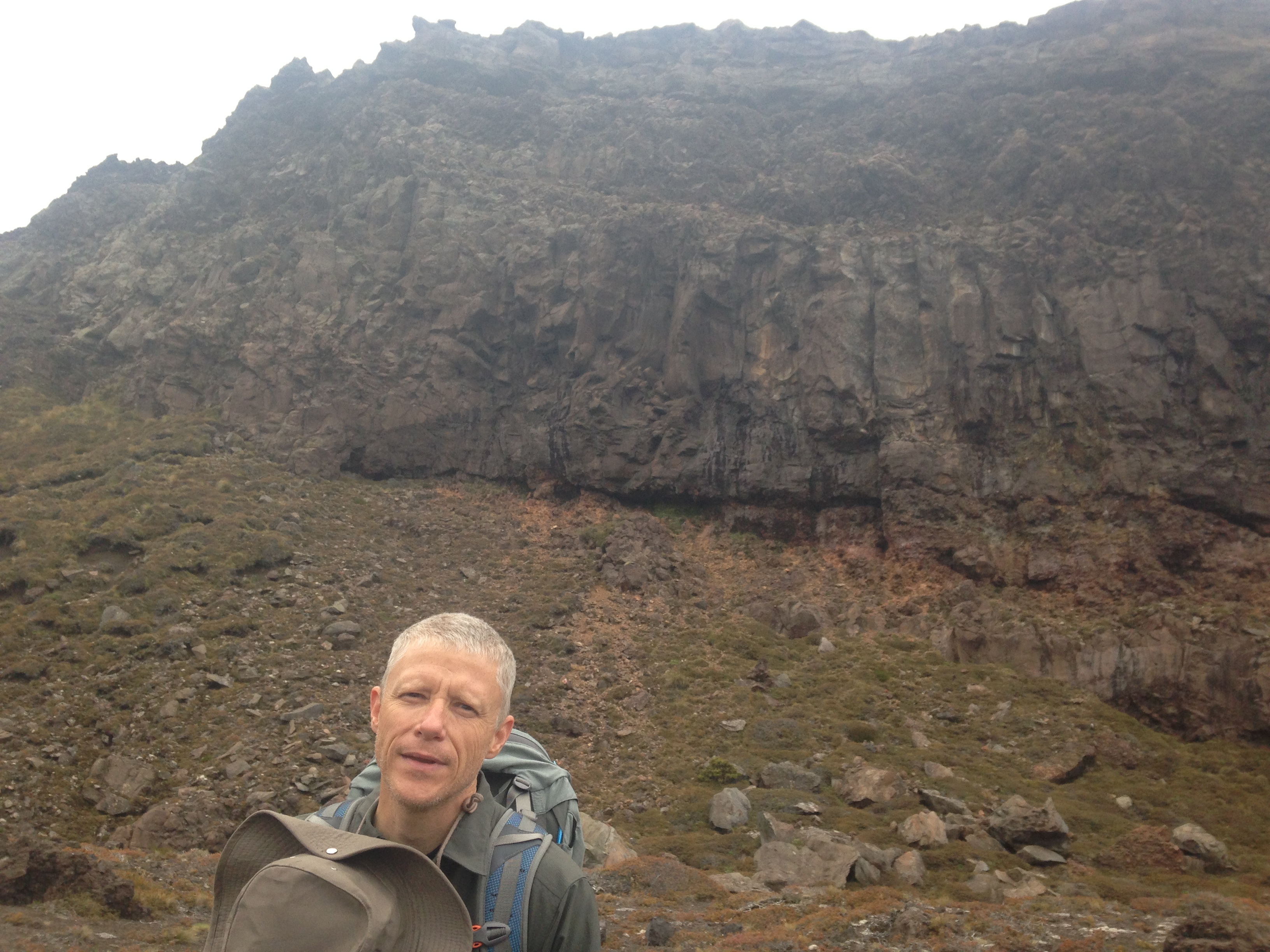
We did take time to snap some photos but we didn't get many near the Red Crater
summit because we really wanted to keep moving.
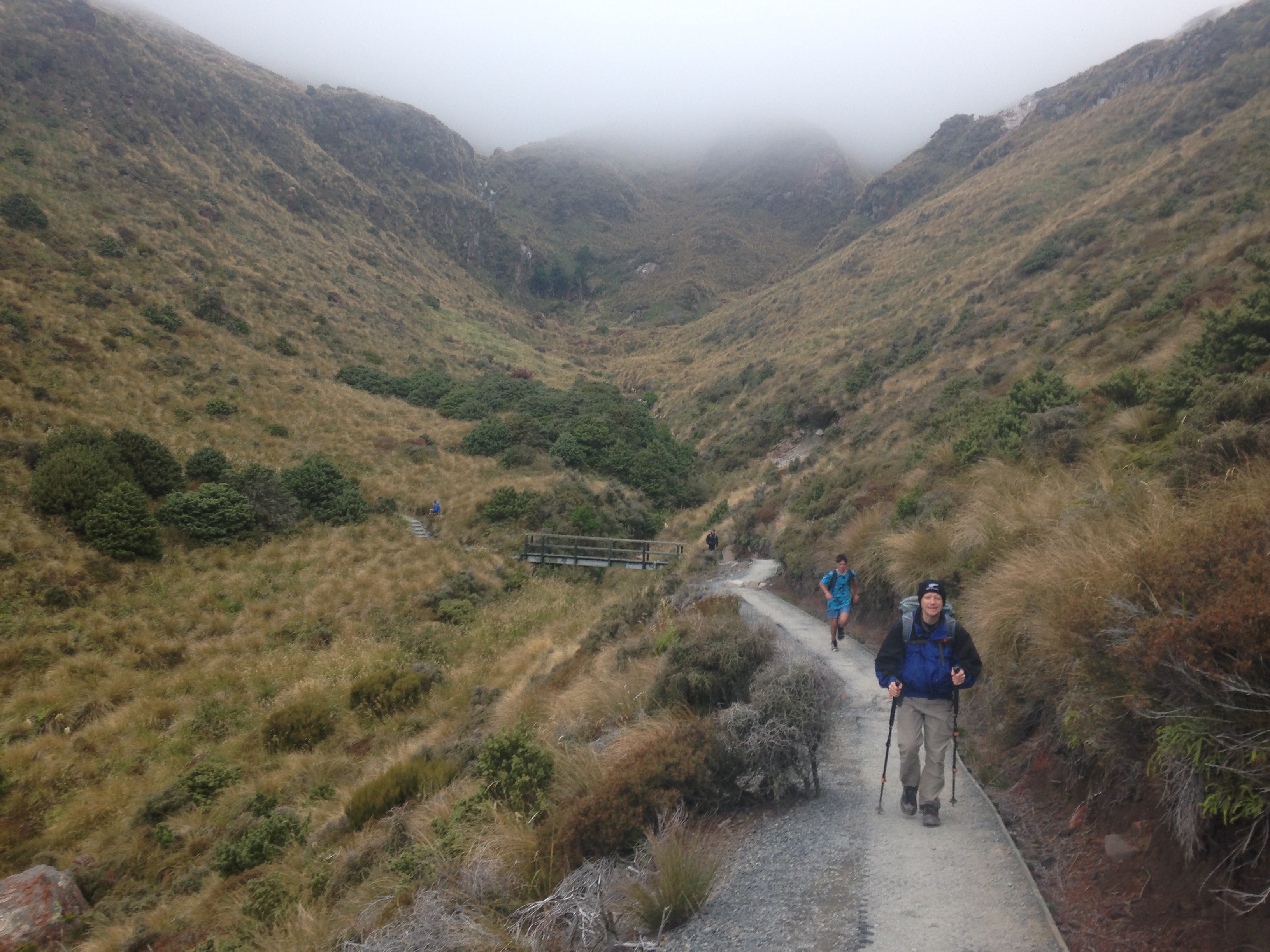
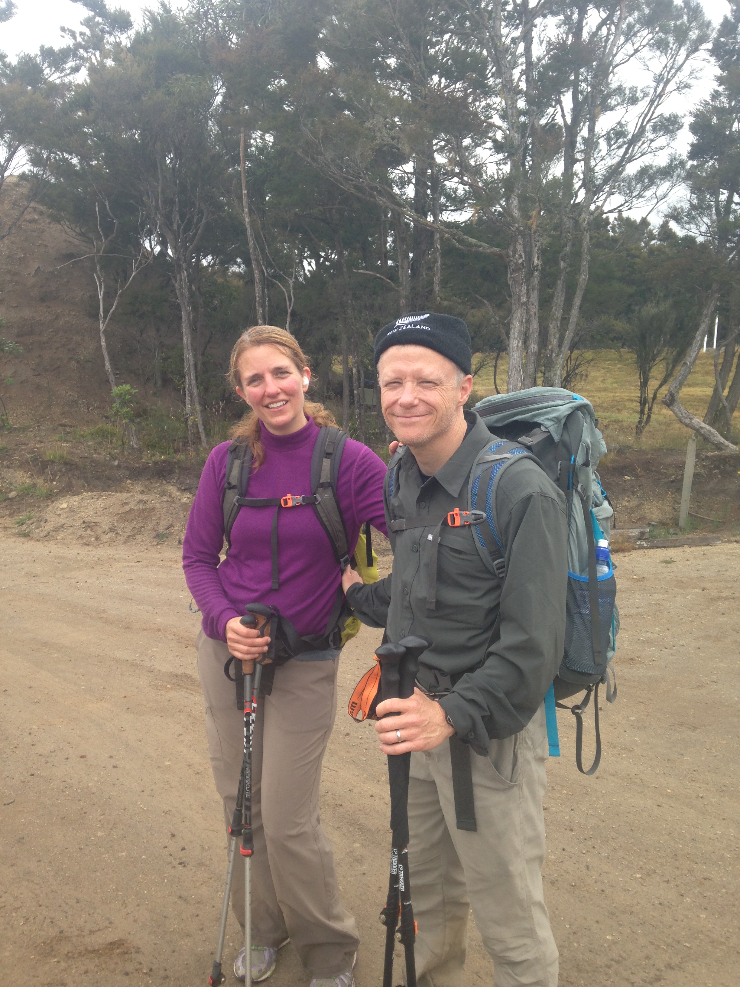
Starting out
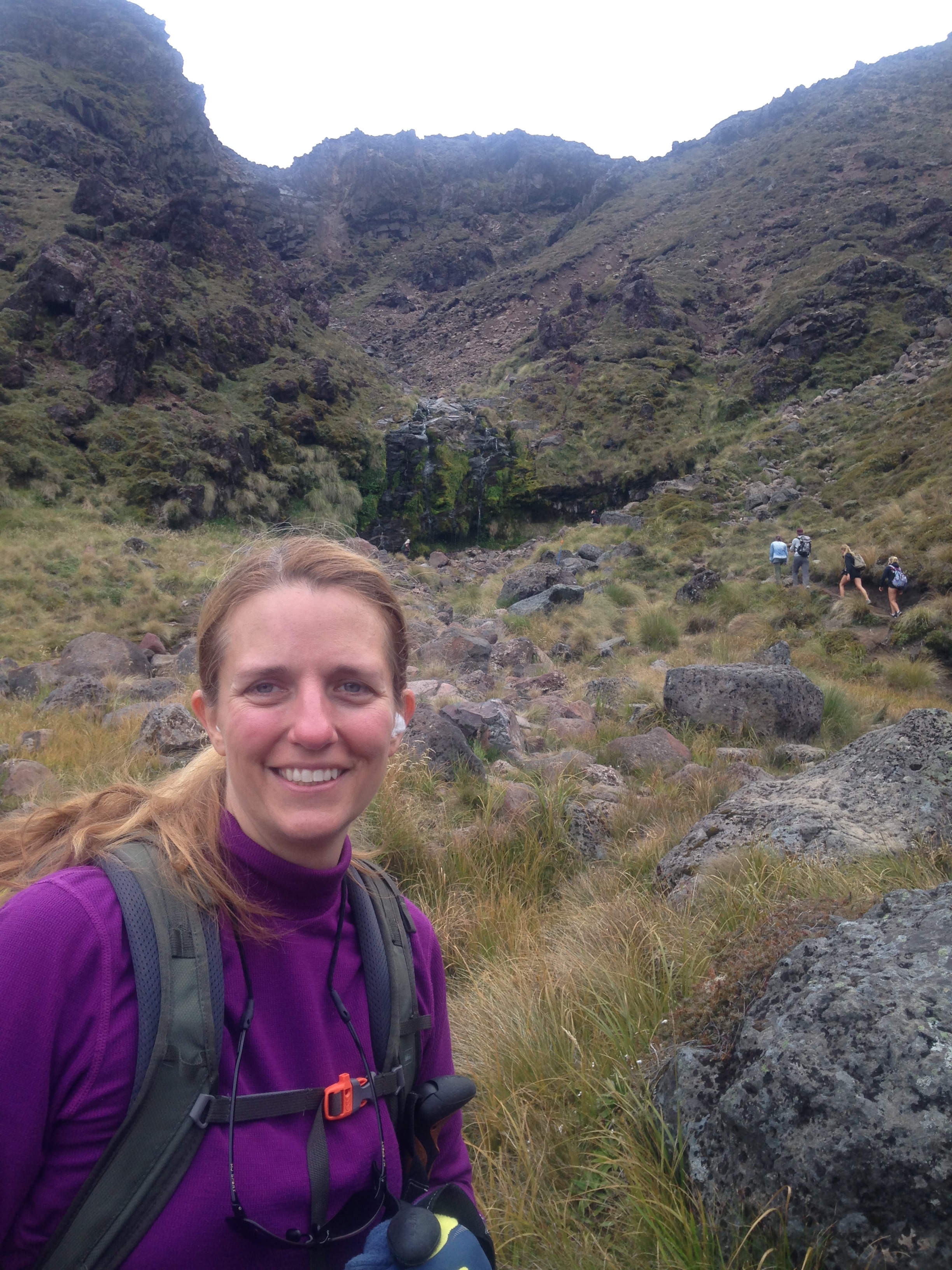
On the way to Soda Spring
Some boardwalks
Soda Springs
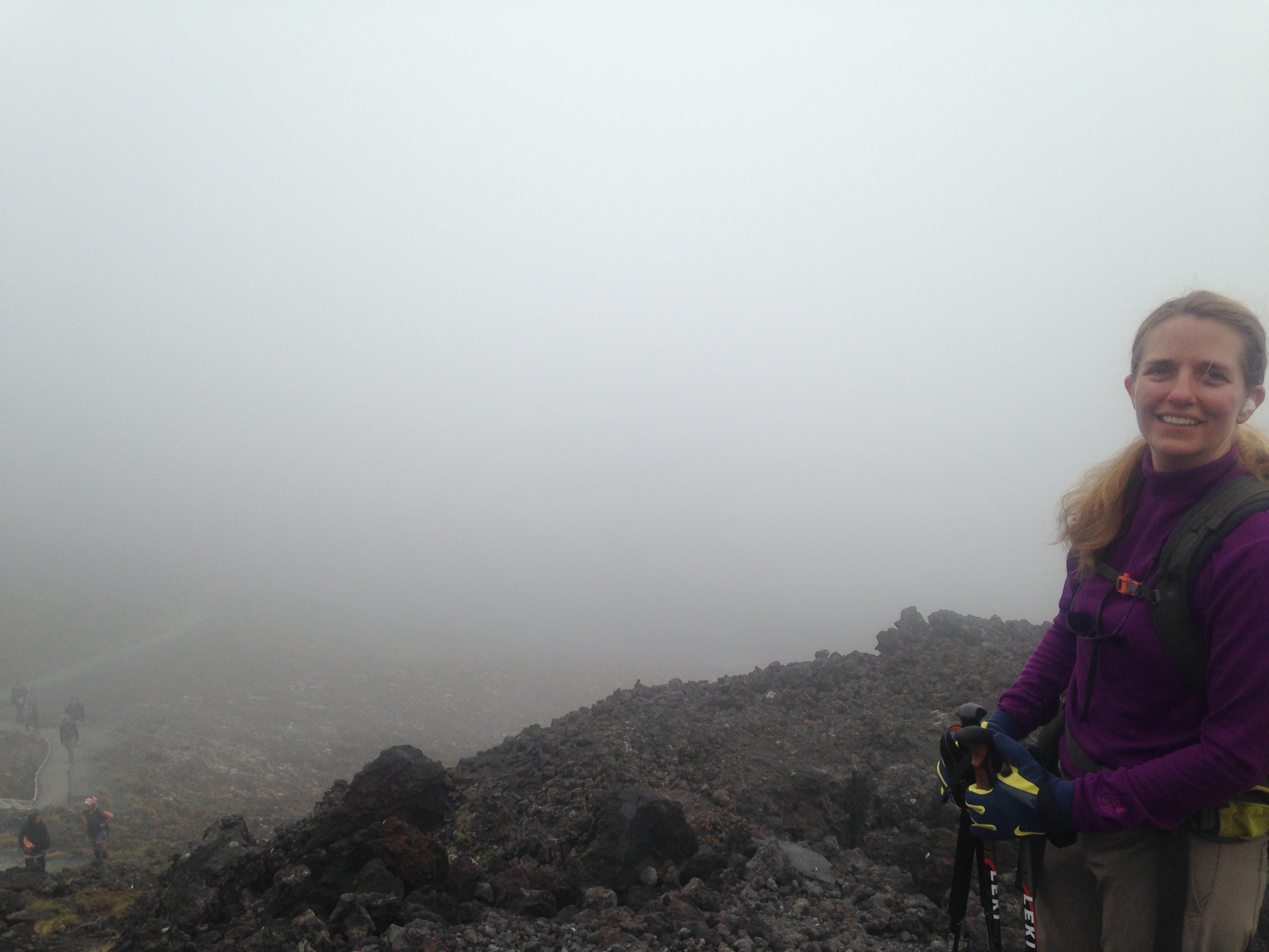
In the clouds
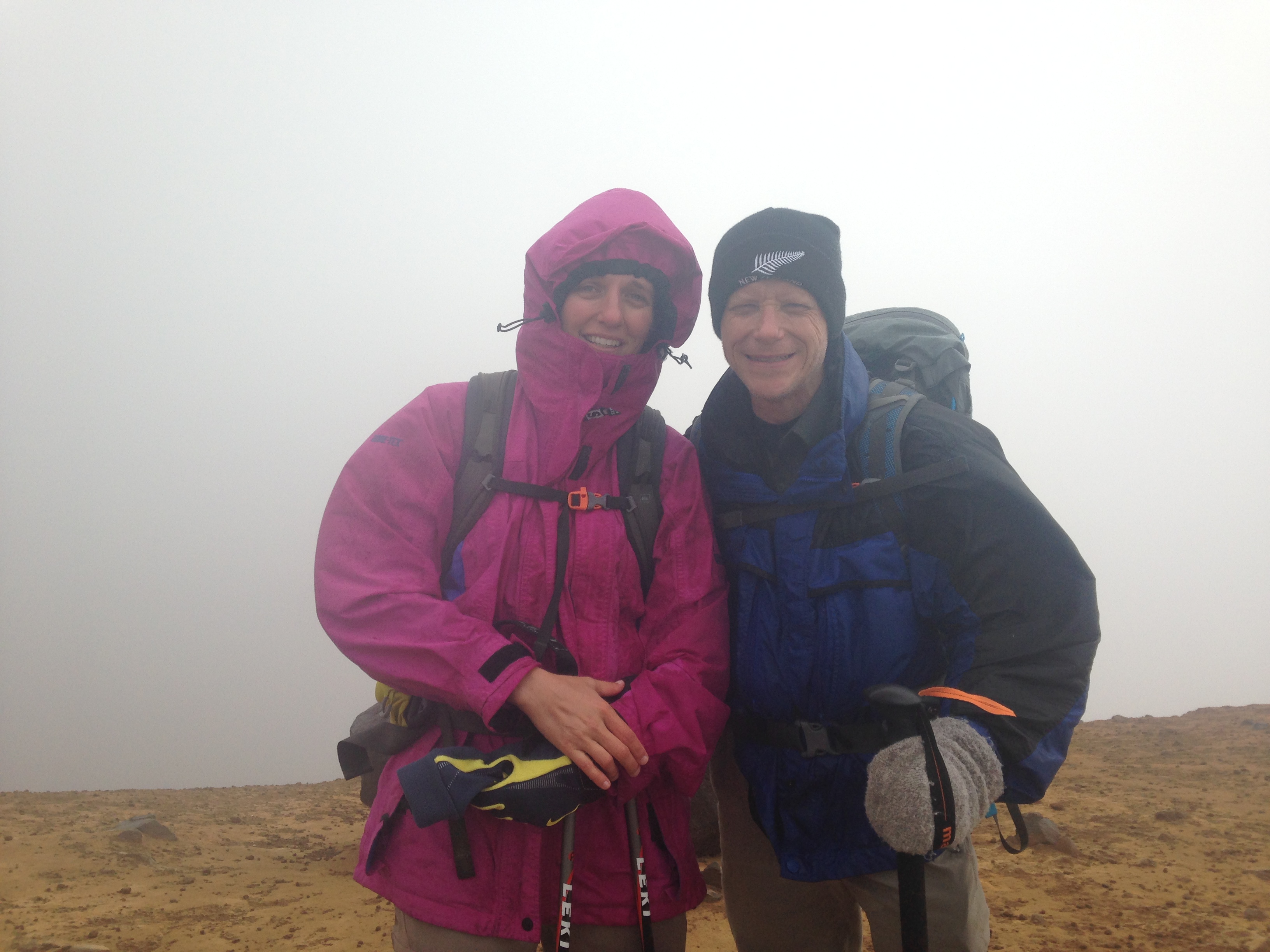
Windy, rainy and cold
Selfie at the summit
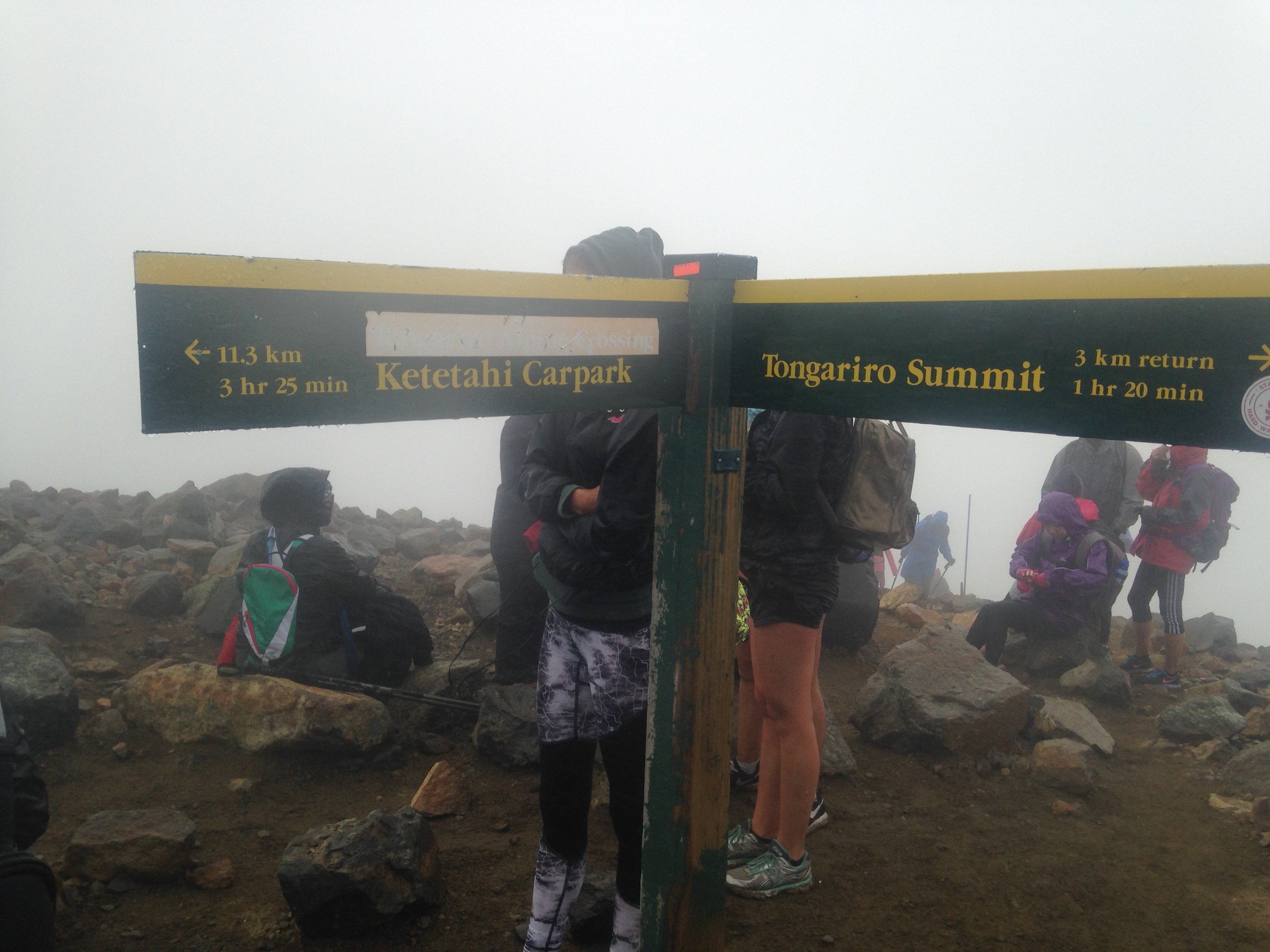
Some folks didn't dress for the weather
Note the poor chap behind me
Quick lunch by the Emerald Lakes
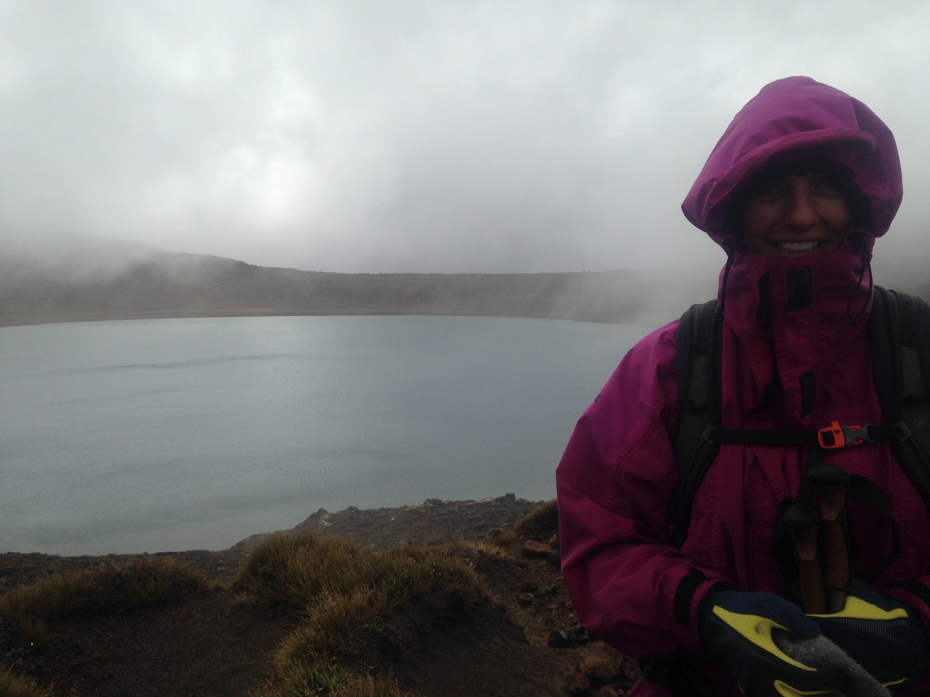
Blue Lake
Last stop on the way down
Thermal vents
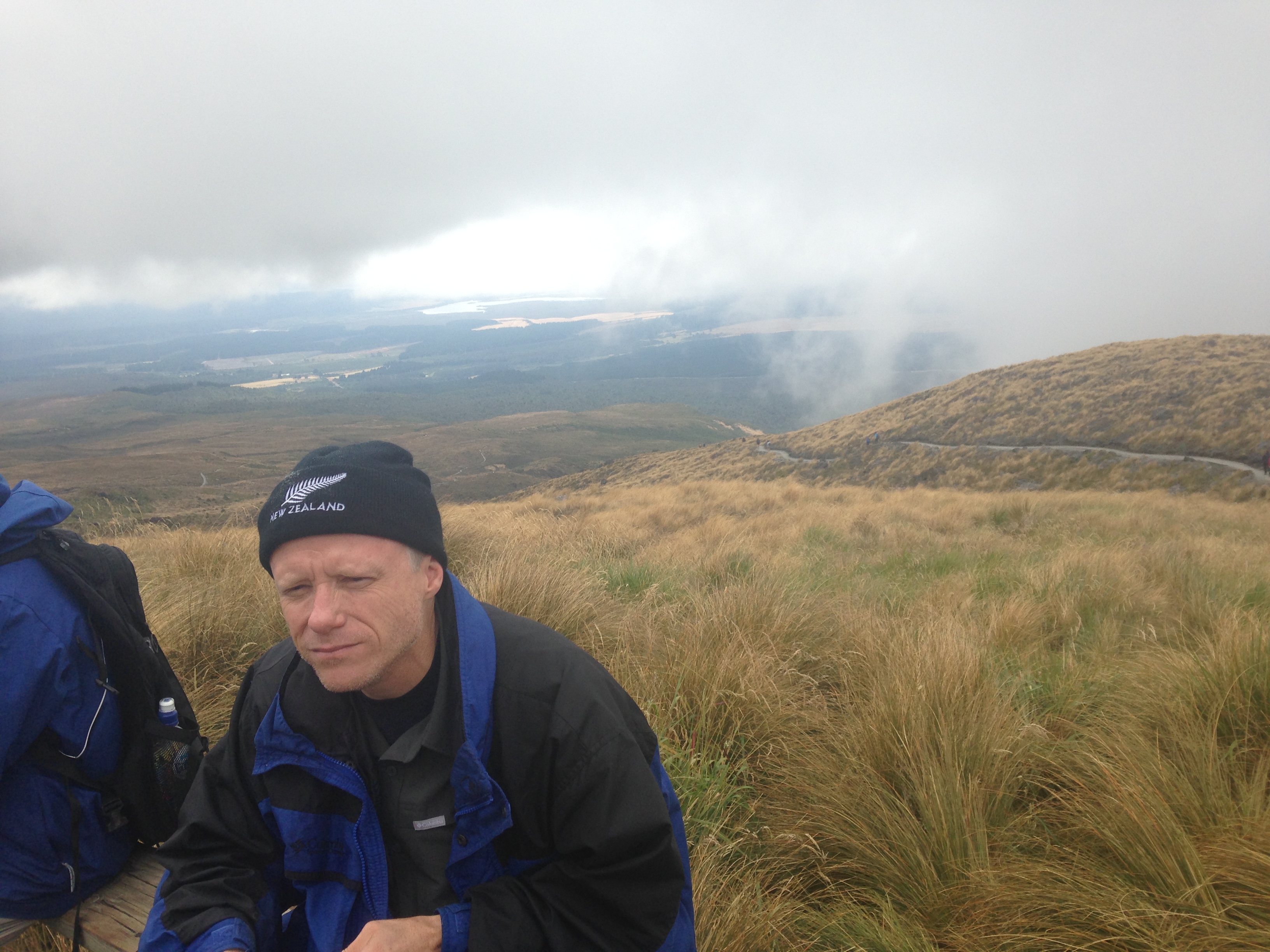
Finally dried out
Done!